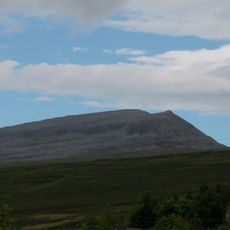
Ben Hope, Summit at Northwest Highlands, Scotland
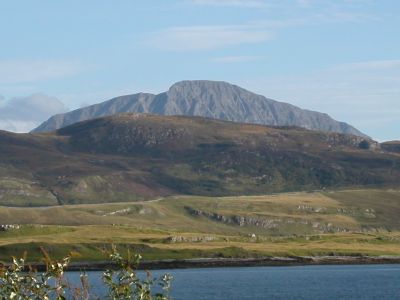
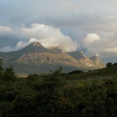
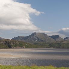
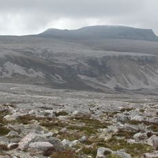
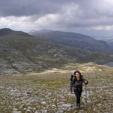
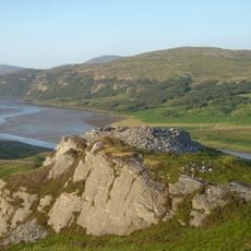
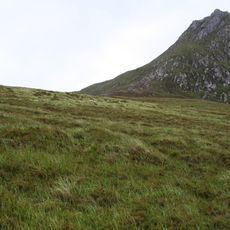
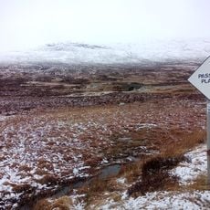
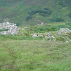
Ben Hope is a mountain in the Northwest Highlands reaching 927 meters, marked by steep slopes and prominent western crags overlooking the surrounding valleys. The peak stands alone and visible from many angles across the moorland landscape.
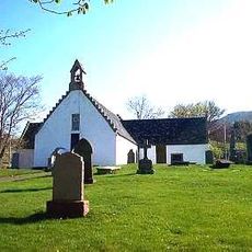
The mountain's name comes from Norse and Gaelic origins, referencing its location near water bodies in the Highlands. This blend of languages reflects the cultural history of a region where different peoples once lived side by side.
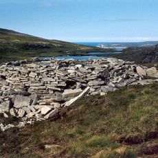
The Aetherius Society, a spiritual organization, includes Ben Hope among their collection of 19 sacred mountains throughout the British landscape.
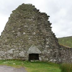
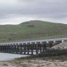
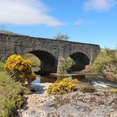
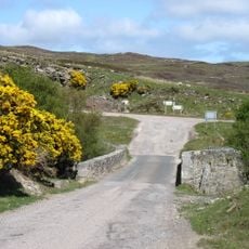
The main ascent starts from a parking area near Dun Dornaigil broch and follows marked paths beside the Allt-na-caillich burn. Weather changes quickly in the Highlands, so bring waterproof clothing and check conditions before setting out.
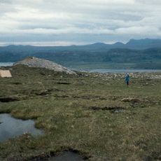
This peak holds the distinction of being the northernmost Munro in Scotland and offers views reaching the Orkney Islands on clear days. Its far northern location makes it a rare vantage point for seeing across Scotland's northern waters.
Location: Highland
Elevation above the sea: 927 m
Part of: Northwest Highlands
GPS coordinates: 58.41313,-4.60793
Latest update: December 6, 2025 16:03
The Scottish Highlands span thousands of square miles in northern Scotland, offering striking landscapes of mountains, jagged coastlines, and remote lakes. This region retains villages that only recently gained road access, such as Rhenigidale on Harris Island, connected to the rest of the island in...
Castle Varrich
12.2 km
Loch Eriboll
10.8 km
Ben Loyal
10.1 km
Kyle of Tongue
11.5 km
Kinloch Lodge
7.7 km
Dun Dornaigil
5.5 km
Kyle of Tongue Bridge
13.1 km
Cranstackie
13.8 km
Beinn Spionnaidh
13.5 km
Meall Meadhonach, wheelhouse 1850m SSW of summit cairn
13.1 km
Tongue, St Andrew's Church
13.2 km
Loch Eriboll Lighthouse
11.8 km
Sabhal Beag
12.7 km
Bridge, Polla
9.8 km
Achuvoldrach Bridge
12.7 km
Ard Neackie, Limekilns
9.9 km
Ard Neackie, Ferry House
10 km
Hope Lodge
10.1 km
Dun Mhaigh
8 km
Sgor Chaonasaid
10.2 km
Tongue, St Andrew's Church, Graveyard
13.2 km
Tongue, Ferry Look Out
13.7 km
Inchkinloch Bridge
13.4 km
Heilam,broch 620m NE of
10.5 km
Meall nan Cra, cairns between 1050m E of and 1250m SE of summit
12.3 km
Tongue, Manse
13.2 km
Tongue, Manse, Gatepiers
13.2 km
Tongue, Manse, Steading
13.3 kmVisited this place? Tap the stars to rate it and share your experience / photos with the community! Try now! You can cancel it anytime.
Discover hidden gems everywhere you go!
From secret cafés to breathtaking viewpoints, skip the crowded tourist spots and find places that match your style. Our app makes it easy with voice search, smart filtering, route optimization, and insider tips from travelers worldwide. Download now for the complete mobile experience.
A unique approach to discovering new places❞
— Le Figaro
All the places worth exploring❞
— France Info
A tailor-made excursion in just a few clicks❞
— 20 Minutes