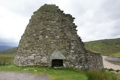
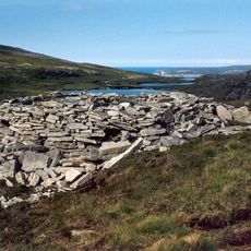
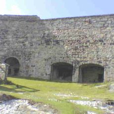
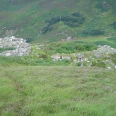
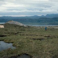
Dun Dornaigil, Iron Age broch in Strathmore Valley, Scotland.
Dun Dornaigil is a circular stone structure standing on a valley floor in the Scottish Highlands. The tower preserves its walls in dry stone construction without mortar, reaching highest on the northeastern side where you can see the original entry.
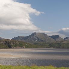
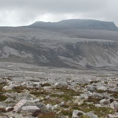
It was built around 2000 years ago during the Iron Age as a defensive tower for local communities. Such structures became common across northern Scotland during this period and served as strongholds for the people living in these valleys.
The name comes from Gaelic meaning "fortress of the stone stream". It tells us how people in this remote area lived together and structured their communities for protection long ago.
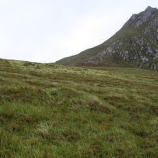
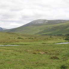
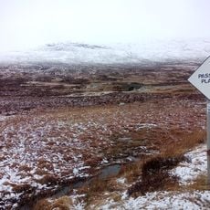
The site is accessible from the A836 road with parking nearby and an information board on site explaining what you are looking at. Wear sturdy footwear as the ground is uneven and weather in this highland region can change quickly.
A large triangular stone lintel sits above the northeastern entrance, shaped and positioned by ancient builders to support the opening. This single stone bears witness to the skill and planning that went into even small architectural details.
The community of curious travelers
AroundUs brings together thousands of curated places, local tips, and hidden gems, enriched daily by 60,000 contributors worldwide.