Foinaven, Mountain and Site of Special Scientific Interest in Sutherland, Scotland
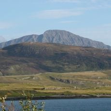
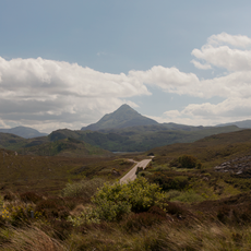
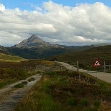
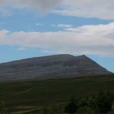
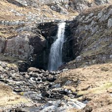
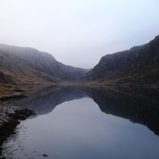
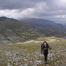
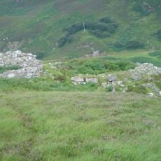
Foinaven is a mountain in Sutherland featuring narrow quartzite ridges that form several distinct peaks across its terrain. The highest point reaches about 911 meters, creating a jagged profile visible from far away.
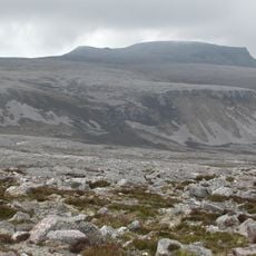
The mountain formed during the development of the Moine Thrust Belt, with layers of Cambrian quartzite deposited over older Lewisian gneiss. These geological layers tell the story of tectonic movements that shaped Scotland millions of years ago.
The name comes from Scottish Gaelic, linking the peak to Highland traditions that shaped this region for centuries. Visitors notice this heritage in local place names along the walking routes.
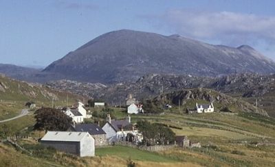
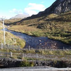
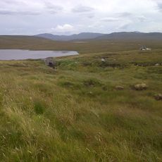
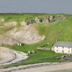
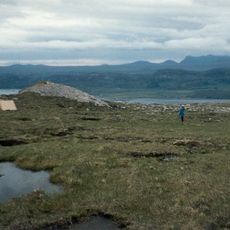
Access starts from the A838 near Gualin House, requiring a walk through Strath Dionard before reaching the steep climbing sections. Hikers should expect challenging terrain and changeable weather typical of mountain conditions.
The peak falls just short of Munro status by about 4 meters, yet it counts as both a Marilyn and Corbett due to its prominence. This makes it notable among mountain classifications for those who keep track of such rankings.
The community of curious travelers
AroundUs brings together thousands of curated places, local tips, and hidden gems, enriched daily by 60,000 contributors worldwide.