
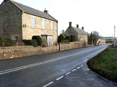
Harlow Hill, hamlet and former civil parish in Stamfordham, Northumberland, England
Location: Stamfordham
Website: http://stamfordhampc.org.uk
GPS coordinates: 55.00943,-1.88076
Latest update: March 3, 2025 14:25
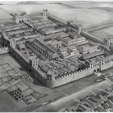
Vindobala
3.6 km
Milecastle 18
2.9 km
Milecastle 17
1.4 km
Milecastle 15
1.6 km
Milecastle 16
71 m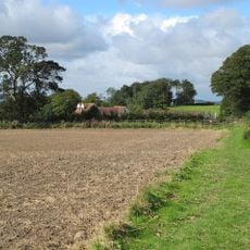
Milecastle 14
3.1 km
United Reformed Church
2.9 km
The Old Chapel
3.8 km
Church of St Mary
3.7 km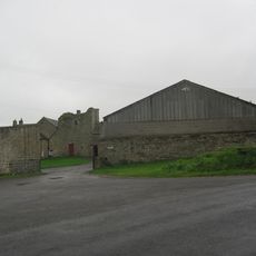
Welton Hall
1.4 km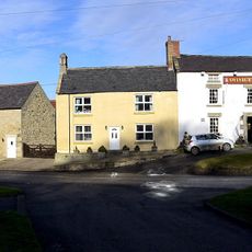
Swinburne Arms
3.8 km
The Lion And Lamb
2.9 km
Moor View
2.8 km
The Old Coach Station
2.8 km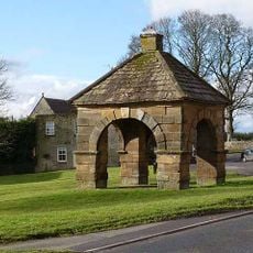
The Butter Cross
3.7 km
Low Cross House
3.7 km
The Manse
2.8 km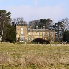
Holeyn Hall
3.9 km
Matfen High House
3 km
23, North Side
3.8 km
Superintendent's House
1.3 km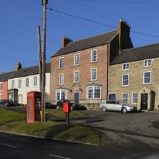
21, North Side
3.8 km
Rudchester
3.7 km
Cheeseburn Grange
3.3 km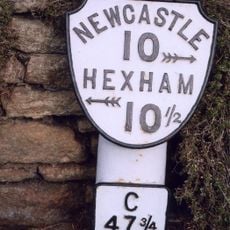
Milepost, Main Steeet, opp Highcrofts jct
2.8 km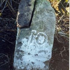
Milestone, Military Road, Harlow Hill at NZ088680
1.1 km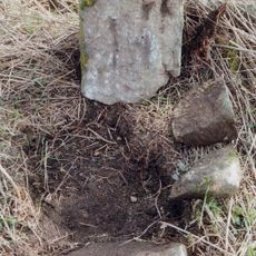
Milestone, Military Road, Harlow Hill at NZ072683
524 m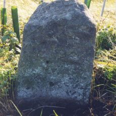
Milestone, Military Road, East Walls Houses
2.1 kmVisited this place? Tap the stars to rate it and share your experience / photos with the community! Try now! You can cancel it anytime.
Discover hidden gems everywhere you go!
From secret cafés to breathtaking viewpoints, skip the crowded tourist spots and find places that match your style. Our app makes it easy with voice search, smart filtering, route optimization, and insider tips from travelers worldwide. Download now for the complete mobile experience.

A unique approach to discovering new places❞
— Le Figaro
All the places worth exploring❞
— France Info
A tailor-made excursion in just a few clicks❞
— 20 Minutes