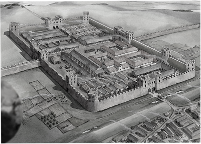
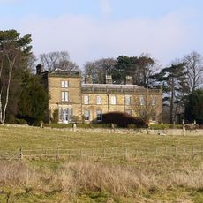
Vindobala, Ancient Roman fort on Hadrian's Wall, Harlow Hill, England
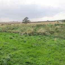
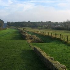
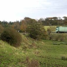
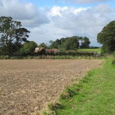
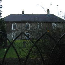
Vindobala is a Roman fort on Hadrian's Wall in northern England, situated in open fields with visible remains of defensive walls and ditches. The site covers roughly two hectares and displays the typical layout of a Roman military installation with its defensive structures clearly marked on the ground.
The fort was built as part of Hadrian's Wall in the 2nd century and served as a crucial frontier position for the Roman empire. By the 4th century, it was garrisoned by troops from the Netherlands who remained stationed here until Roman rule ended in Britain.
The fort served as a meeting point for soldiers from across the Roman empire who lived and worked together at this remote frontier post. Archaeological finds reveal how these troops ate and organized their daily routines, offering insight into life in a military settlement far from home.
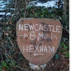
The remains are visible in fields on both sides of the B6318 road, which follows the ancient Roman route. Wear sturdy footwear as the ground is uneven and the site remains accessible throughout the year without restrictions.
A religious altar dedicated to the god Mithras was discovered here, placed by a Roman officer as a personal devotion. This finding reveals that soldiers practiced their own faiths alongside official duties at this remote location.
The community of curious travelers
AroundUs brings together thousands of curated places, local tips, and hidden gems, enriched daily by 60,000 contributors worldwide.