·

Enable Location

We need your location to show you interesting places around you

Discover nearby places

Find interesting locations and hidden gems around you

Precise directions

Get accurate directions and distances to places

Your location is never shared with other users. It's only used when you tap the location button.

Cefn Eglwysilan

Log in to your account

Start exploring — it's free

Trusted by 62,742 travelers worldwide

Continue with Google
Continue with Apple
or

We will send you a code to connect

By continuing, you accept our Terms and Conditions and our Privacy Policy

Check your inbox

We've sent a pincode in your inbox. Please enter the code below.

Cefn Eglwysilan

Cefn Eglwysilan, Mountain summit in Rhondda Cynon Taf, Wales.

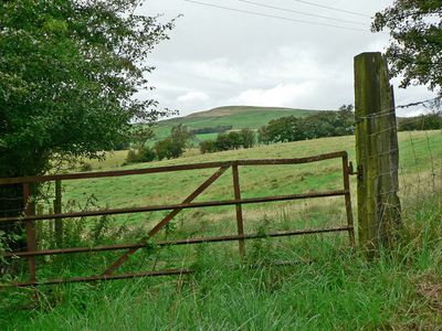
Cefn Eglwysilan is a hilltop with two peaks in Wales, its main summit topped by a wireless transmission station and its southern peak marked by a triangulation point. The hill rises to about 380 meters and is crossed by several public byways that offer different ways for visitors to reach and explore it.

The hill carries the Senghenydd Dyke on its eastern slope, an ancient earthwork that marked the boundary of a 13th-century deer park linked to nearby Caerphilly Castle. This earthwork shows how the area once served as hunting grounds for the castle.

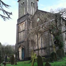
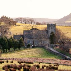
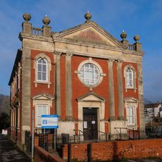
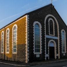
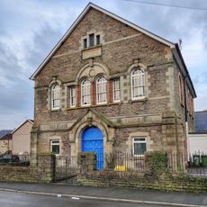
The name comes from the nearby hamlet of Eglwysilan, home to a church dedicated to Saint Ilan that reflects local Welsh religious roots. This connection shows how the hill remains tied to the community's spiritual history.

Multiple public byways cross the hill, connecting Eglwysilan Road with routes between Nelson and Senghenydd, offering various entry points. It is best to wear suitable footwear and be prepared for changing weather, as the summit is quite exposed.

The geological makeup consists of Hughes Sandstone from the Carboniferous Period, with underlying siltstone and mudstone layers reaching back about 309 million years. This ancient rock formation makes the hill a window into a very distant geological past.

The community of curious travelers

AroundUs brings together thousands of curated places, local tips, and hidden gems, enriched daily by 60,000 contributors worldwide.

Start exploring
Location
Elevation above the sea
382 m
GPS coordinates
51.60612,-3.30521
Latest update
December 14, 2025 18:40
« Cefn Eglwysilan - Mountain summit in Rhondda Cynon Taf, Wales » is provided by Around Us (aroundus.com). Images and texts are derived from Wikimedia project under a Creative Commons license. You are allowed to copy, distribute, and modify copies of this page, under the conditions set by the license, as long as this note is clearly visible.

Discover hidden gems everywhere you go!

From secret cafés to breathtaking viewpoints, skip the crowded tourist spots and find places that match your style. Our app makes it easy with voice search, smart filtering, route optimization, and insider tips from travelers worldwide. Download now for the complete mobile experience.

Around Us App Screenshot

A unique approach to discovering new places

Le Figaro

All the places worth exploring

France Info

A tailor-made excursion in just a few clicks

20 Minutes

Around Us
Travel Guide & Maps
Download

Send to your phone

QR Code
1

Open the camera app on your mobile.

2

Point at the QR code with your camera. A notification will appear.

3

Tap the notification to open the link.