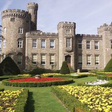
Rhondda Cynon Taf, Principal area and non-metropolitan county in South Wales.
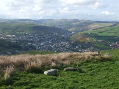
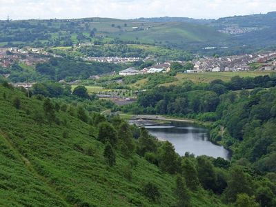
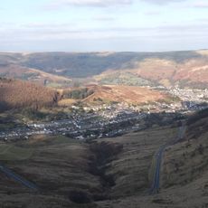
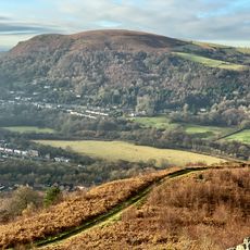
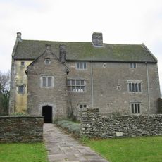
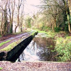
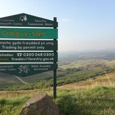
Rhondda Cynon Taf is a principal administrative area in South Wales, shaped by five valleys carved by the Rivers Rhondda, Cynon, Taff, and Ely. Forested hills rise between the waterways, creating the natural structure that defines the landscape throughout the region.
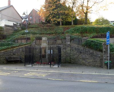
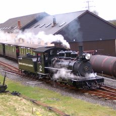
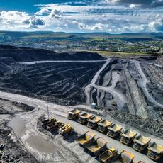
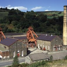
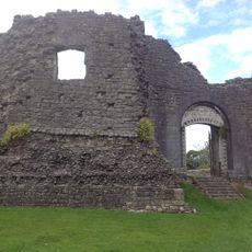
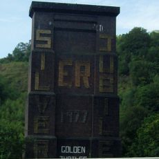
The region saw rapid growth in the 18th and 19th centuries when coal and iron ore deposits were discovered, transforming South Wales into an industrial center. Mining operations became the dominant activity, shaping how communities developed and how people lived across the valleys.
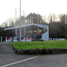
Welsh musical traditions remain central to community life, with regular festivals and gatherings that draw people together throughout the year. These events reflect the region's long connection to song and performance as part of everyday culture.
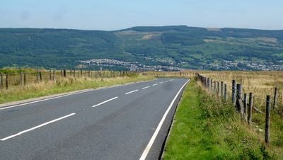
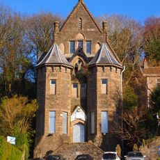
Pontypridd serves as the main town and shopping hub, positioned about 12 miles north of Cardiff and easy to reach by road. From this central location, visitors can explore the surrounding valleys and smaller towns that spread across the region.
Deep coal mining ended in the region when the last major pit at Hirwaun closed in 2008, marking the final chapter of an era that once defined daily life. The site later shifted to open-pit operations, showing how the landscape adapted after traditional mining came to an end.
The community of curious travelers
AroundUs brings together thousands of curated places, local tips, and hidden gems, enriched daily by 60,000 contributors worldwide.