
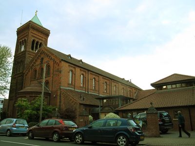
Church of St Luke, church in the United Kingdom
Location: London Borough of Wandsworth
GPS coordinates: 51.45230,-0.15672
Latest update: March 2, 2025 22:03
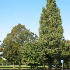
Wandsworth Common
923 m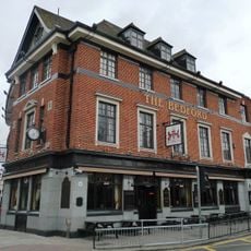
The Bedford
1.2 km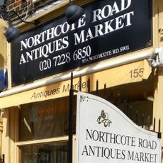
Northcote Road Antiques Market
628 m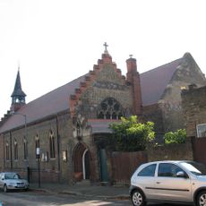
Church of St Michael
739 m
Church of St Barnabas
1.1 km
Church of St Mary
1.1 km
The Ascension, Balham Hill
540 m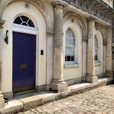
Mission Room Building And Stable Block
972 m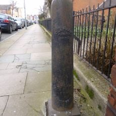
Bollards On North And South Sides Of Road Between Church Of The Ascension And Vicarage
506 m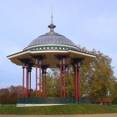
Clapham Common Bandstand
816 m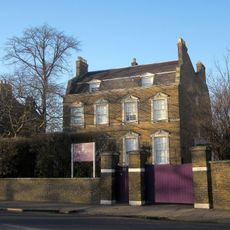
Springwell House
1 km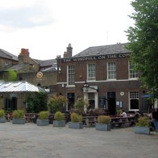
Ye Olde Windmill Public House
1 km
48-52, Clapham Common North Side Sw4
1.2 km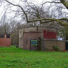
Clapham South Deep Level Shelter
660 m
Gilmore House
1.1 km
Clapham South Deep Tube Shelter And Surface Building At Wandsworth Entrance
606 m
24 And 26, Old Devonshire Road Sw12
937 m
78 Clapham Common South Side, London SW4
932 m
St Barnabas Church Hall
1.1 km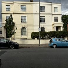
6 And 8, Old Devonshire Road Sw12
1 km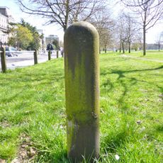
9 Battersea Parish boundary markers
941 m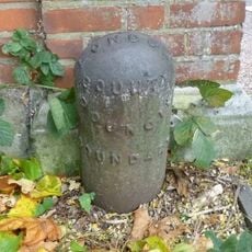
13 boundary markers
399 m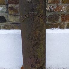
Bollards East And West Sides Of Street Near Junction With Nightingale Lane
352 m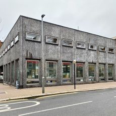
Northcote Library
621 m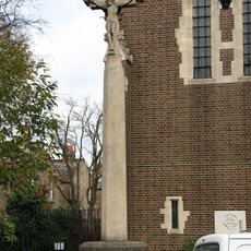
Clapham Park War Memorial
1.2 km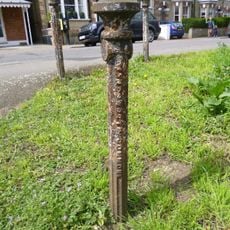
Five Bollards Off St James's Drive At Tq 276732
1 km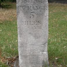
Milestone, Clapham Common South Side
708 m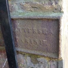
Boundary Wall Between Number 37 And Elf Filling Station Bearing Twin Plates (Fixed To East And West Sides)
262 mVisited this place? Tap the stars to rate it and share your experience / photos with the community! Try now! You can cancel it anytime.
Discover hidden gems everywhere you go!
From secret cafés to breathtaking viewpoints, skip the crowded tourist spots and find places that match your style. Our app makes it easy with voice search, smart filtering, route optimization, and insider tips from travelers worldwide. Download now for the complete mobile experience.

A unique approach to discovering new places❞
— Le Figaro
All the places worth exploring❞
— France Info
A tailor-made excursion in just a few clicks❞
— 20 Minutes