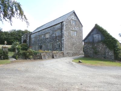
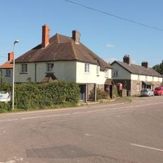
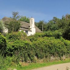
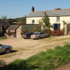
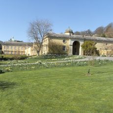
Bremridge, Grade II* listed building in Filleigh, England
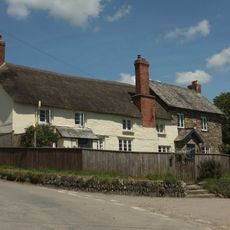
Bremridge is a Grade II* listed stone mansion in Filleigh featuring traditional Devon architecture from the 1650s, with carefully cut stonework and period-appropriate construction details. The building occupies farmland grounds and retains its original character with a prominent heraldic shield positioned above its main entrance.
The estate was recorded in early records and has passed through the hands of multiple owners over centuries, with Sir John Dodderidge emerging as a notable resident who served as a high court judge. This long association with influential families shaped the property and its standing in the region.
The stone coat of arms above the entrance displays the heraldry of the Dodderidge and Pollard families, who held significant standing in the area. These symbols reveal how deeply the residents were connected to local society and rank.
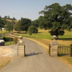
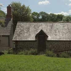
The building functions as a private residence set within farmland, and photography is permitted from marked viewpoints around the outer edges of the grounds. Visitors should respect the privacy of residents and remain on accessible paths.
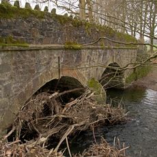
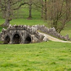
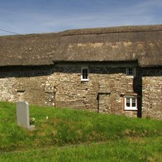
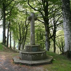
The nearby woodland holds remains of an Iron Age fortification and the Bremridge Tunnel, a former railway passage built by the Great Western Railway. These archaeological and industrial traces add an unexpected layer to the countryside setting.
The community of curious travelers
AroundUs brings together thousands of curated places, local tips, and hidden gems, enriched daily by 60,000 contributors worldwide.