Enable Location

We need your location to show you interesting places around you

Discover nearby places

Find interesting locations and hidden gems around you

Precise directions

Get accurate directions and distances to places

Your location is never shared with other users. It's only used when you tap the location button.

Stoke Rochford Hall

Log in to your account

Start exploring — it's free

Trusted by 61,908 travelers worldwide

Continue with Google
Continue with Apple
or

We will send you a code to connect

By continuing, you accept our Terms and Conditions and our Privacy Policy

Check your inbox

We've sent a pincode in your inbox. Please enter the code below.

Stoke Rochford Hall

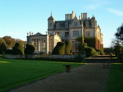
Stoke Rochford Hall, Victorian mansion in Stoke Rochford, England

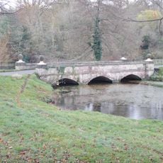
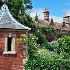
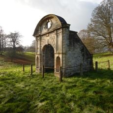
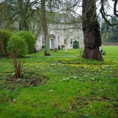
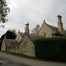
Stoke Rochford Hall is a Jacobean-style country house in Lincolnshire built from limestone with multiple chimneys and formal gardens. The building contains spacious reception rooms arranged in a symmetrical layout designed to accommodate gatherings and events.

The building was designed in 1841 by Scottish architect William Burn for landowner Christopher Turnor and completed by 1845. During World War II, the parachute regiment used it as a command headquarters for military planning operations.

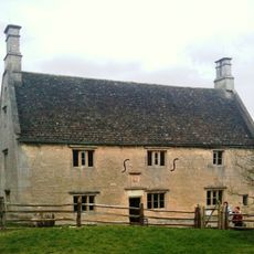
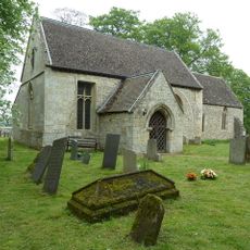
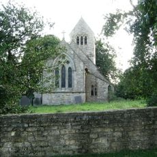
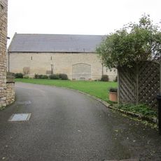
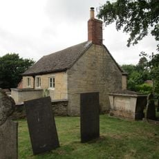
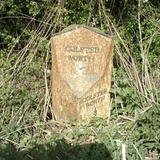
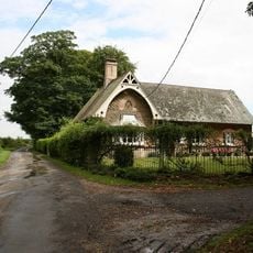
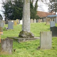
The hall carries the name of the surrounding village, which developed around the medieval settlement of Stoke Rochford over centuries.

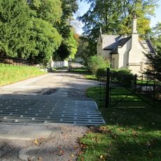
The estate is best reached by car, as it sits near the A1 motorway and is accessed via a long driveway. Today it operates as a hotel and events venue with banquet halls and dining facilities for guests.

A major fire damaged the building significantly, after which extensive restoration work brought it back to its former appearance while adapting it to modern needs. This careful rebuilding allowed the house to maintain its historical character while supporting its current use as a hotel.

The community of curious travelers

AroundUs brings together thousands of curated places, local tips, and hidden gems, enriched daily by 60,000 contributors worldwide.

Start exploring
Location
Architects
William Burn
Architectural style
Jacobean architecture
GPS coordinates
52.84220,-0.63798
Latest update
December 8, 2025 20:02
Around this place
Woolsthorpe Manor
United Kingdom

Woolsthorpe Manor

3.7 km
Church of St Mary and St Andrew, Stoke Rochford
United Kingdom

Church of St Mary and St Andrew, Stoke Rochford

741 m
Ellys Manor House
United Kingdom

Ellys Manor House

2.5 km
Church of the Holy Cross
United Kingdom

Church of the Holy Cross

2.5 km
Church of St John the Baptist
United Kingdom

Church of St John the Baptist

4.1 km
Church of St Catherine
United Kingdom

Church of St Catherine

4 km
Church of St James
United Kingdom

Church of St James

3.1 km
Church of St Guthlac
United Kingdom

Church of St Guthlac

4.2 km
Church of All Saints
United Kingdom

Church of All Saints

3.4 km
Obelisk, Approximately 250 Metres West North West Of Stoke Rochford Hall
United Kingdom

Obelisk, Approximately 250 Metres West North West Of Stoke Rochford Hall

258 m
Village Pump
United Kingdom

Village Pump

697 m
Bridge, Approximately 350 Metres South Of The Hall
United Kingdom

Bridge, Approximately 350 Metres South Of The Hall

490 m
Church Cottages
United Kingdom

Church Cottages

4 km
Gazebo 80 Metres South Of Harlaxton Manor
United Kingdom

Gazebo 80 Metres South Of Harlaxton Manor

4.7 km
Village Cross
United Kingdom

Village Cross

3.1 km
Barn At Woolsthorpe Manor
United Kingdom

Barn At Woolsthorpe Manor

3.7 km
Barn at Church Farm
United Kingdom

Barn at Church Farm

2.5 km
4, Spring Lane
United Kingdom

4, Spring Lane

4.1 km
Milestone, 10 Yards East Of Junction With A1
United Kingdom

Milestone, 10 Yards East Of Junction With A1

4.7 km
Old School
United Kingdom

Old School

1.9 km
Saxon cross in churchyard of parish church, South Stoke
United Kingdom

Saxon cross in churchyard of parish church, South Stoke

740 m
Ornamental Archway, Approximately 350 Metres South Of Stoke Rochford Hall
United Kingdom

Ornamental Archway, Approximately 350 Metres South Of Stoke Rochford Hall

475 m
Cross
United Kingdom

Cross

1.6 km
1 and 2, School Close
United Kingdom

1 and 2, School Close

682 m
Ornamental Archway 250 M South West From Hall
United Kingdom

Ornamental Archway 250 M South West From Hall

394 m
Little Ponton Hall And Service Range With Yard
United Kingdom

Little Ponton Hall And Service Range With Yard

4.2 km
Old School And School House
United Kingdom

Old School And School House

701 m
3 Gatepiers, Wall And Lodge, South East Entrance,550 Metres South-South East Of Stoke Rochford Hall
United Kingdom

3 Gatepiers, Wall And Lodge, South East Entrance,550 Metres South-South East Of Stoke Rochford Hall

615 m
Show the full map
« Stoke Rochford Hall - Victorian mansion in Stoke Rochford, England » is provided by Around Us (aroundus.com). Images and texts are derived from Wikimedia project under a Creative Commons license. You are allowed to copy, distribute, and modify copies of this page, under the conditions set by the license, as long as this note is clearly visible.

Discover hidden gems everywhere you go!

From secret cafés to breathtaking viewpoints, skip the crowded tourist spots and find places that match your style. Our app makes it easy with voice search, smart filtering, route optimization, and insider tips from travelers worldwide. Download now for the complete mobile experience.

Around Us App Screenshot

A unique approach to discovering new places

Le Figaro

All the places worth exploring

France Info

A tailor-made excursion in just a few clicks

20 Minutes

Around Us
Travel Guide & Maps
Download

Send to your phone

QR Code
1

Open the camera app on your mobile.

2

Point at the QR code with your camera. A notification will appear.

3

Tap the notification to open the link.