
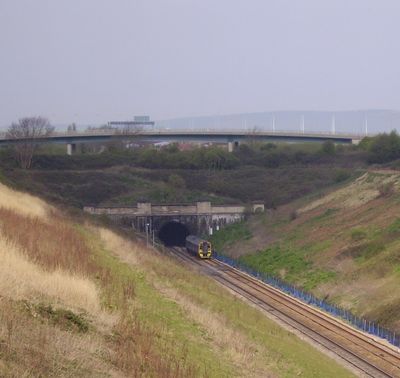
Severn Tunnel East Portal, architectural structure in Pilning and Severn Beach, South Gloucestershire, England, UK
Location: Pilning and Severn Beach
Part of: Severn Tunnel
GPS coordinates: 51.56590,-2.65728
Latest update: March 12, 2025 19:25
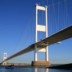
Severn Bridge
5 km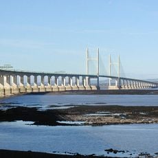
Second Severn Crossing
3.2 km
Wild Place Project
4.9 km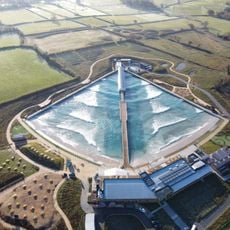
The Wave
4.4 km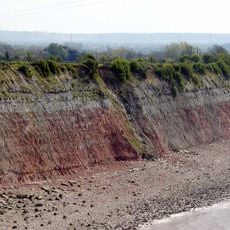
Aust Cliff
4.4 km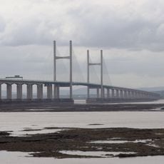
English Stones
2 km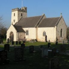
Church of St Mary, Portskewett
5.4 km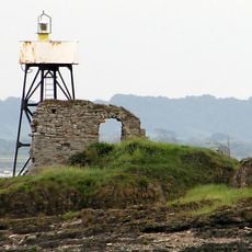
Chapel Rock Lighthouse
4.6 km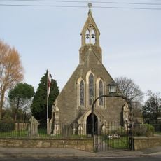
Church of St Peter
1.3 km
Church of All Saints
4.1 km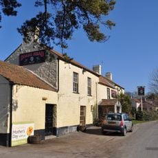
The Boar's Head
4.6 km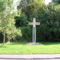
Hallen War Memorial
5.5 km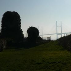
Holy Trinity Church
4.3 km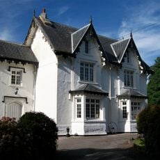
Portskewett House
5.3 km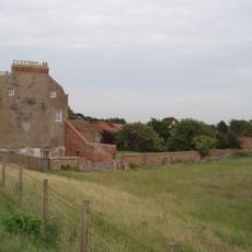
Severn Lodge Farmhouse
937 m
St John's Church
4.5 km
St Twrog's Chapel
4.6 km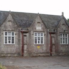
Sandfords Charity School
1.9 km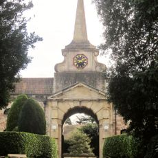
Archway To Over Court
5.2 km
Overthrow, Lantern And Gate About 17 Metres West Of Church Of St Peter
1.3 km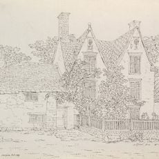
Northwick House Farmhouse With Attached Barn And Dairy Range
1.8 km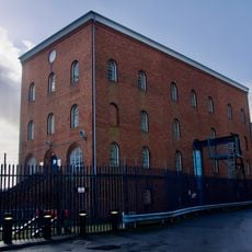
Sudbrook Pump House
4.3 km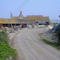
Cattybrook Farmhouse
4.4 km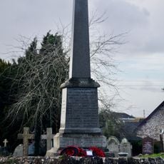
Portskewett War Memorial
5.3 km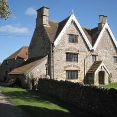
Rookery Farmhouse
3 km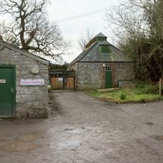
Hollywood Tower And Attached Stable, Wall, Kennels And Piers
5 km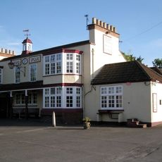
The Fox
4 km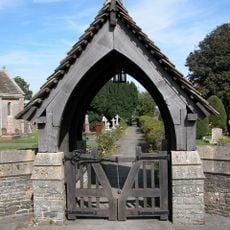
Lychgate to Church of All Saints
4.1 kmReviews
Visited this place? Tap the stars to rate it and share your experience / photos with the community! Try now! You can cancel it anytime.
Discover hidden gems everywhere you go!
From secret cafés to breathtaking viewpoints, skip the crowded tourist spots and find places that match your style. Our app makes it easy with voice search, smart filtering, route optimization, and insider tips from travelers worldwide. Download now for the complete mobile experience.

A unique approach to discovering new places❞
— Le Figaro
All the places worth exploring❞
— France Info
A tailor-made excursion in just a few clicks❞
— 20 Minutes