
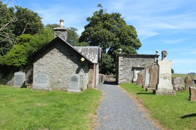
Session House, Glasserton Parish Churchyard, L-shaped building at Glasserton church in Dumfries and Galloway, Scotland, UK
Location: Dumfries and Galloway
Location: Glasserton
GPS coordinates: 54.71290,-4.45294
Latest update: March 9, 2025 03:30
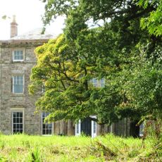
Monreith House
8 km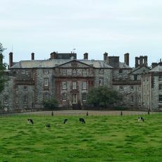
Galloway House
9.2 km
Sorbie Tower
9.4 km
Whithorn Priory
3.2 km
Cruggleton Castle
7.9 km
St Ninian's Cave
2.1 km
Drumtroddan Standing Stones
8.4 km
The Wren's Egg, two standing stones 18m ENE and two standing stones 406m SSE of
7.1 km
Old Place of Monreith
6.3 km
Barsalloch Fort
8 km
Cruggleton Old Parish Church and Burial Ground
7.4 km
Fell of Barhullion
6 km
Ravenstone Castle
6.2 km
55–57 George Street, Whithorn
3.3 km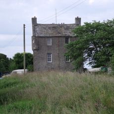
Isle Of Whithorn Castle
5.8 km
Glasserton Parish Church And Churchyard
41 m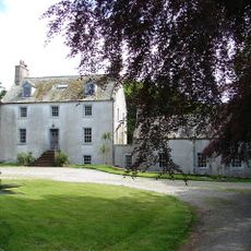
Tonderghie House
3.3 km
Drumtroddan Cup and Ring Marks
8.8 km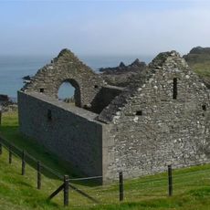
St Ninian's Chapel
6.2 km
Swallow Theatre
5.4 km
St Martin and St Ninian Catholic Church
3.2 km
The Whithorn Trust
3.3 km
Whithorn, 65-69 George Street, Old Town Hall
3.2 km
St John's Church, St John's Street, Whithorn
3.6 km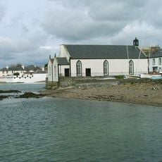
Isle Of Whithorn, Main Street, Isle Parish Church
6 km
Walled Churchyard at Kirkmaiden Old Church
5.8 km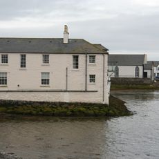
Sea Breeze With Sea Wall, 9 Main Street, Isle Of Whithorn
5.9 km
Whithorn, 57 George Street, Pend House And Whithorn Priory Gateway
3.3 kmVisited this place? Tap the stars to rate it and share your experience / photos with the community! Try now! You can cancel it anytime.
Discover hidden gems everywhere you go!
From secret cafés to breathtaking viewpoints, skip the crowded tourist spots and find places that match your style. Our app makes it easy with voice search, smart filtering, route optimization, and insider tips from travelers worldwide. Download now for the complete mobile experience.

A unique approach to discovering new places❞
— Le Figaro
All the places worth exploring❞
— France Info
A tailor-made excursion in just a few clicks❞
— 20 Minutes