
Howbury moated site, archaeological site in London Borough of Bexley, Greater London, England, UK
Location: London Borough of Bexley
GPS coordinates: 51.46840,0.19828
Latest update: April 16, 2025 01:23
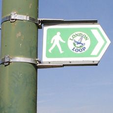
London Outer Orbital Path
2.2 km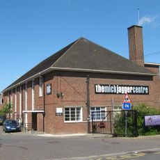
The Mick Jagger Centre
2.7 km
Orchard Theatre
2.8 km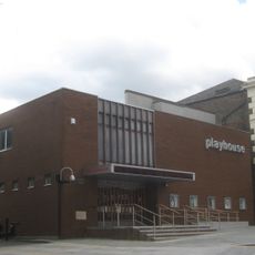
Erith Playhouse
1.8 km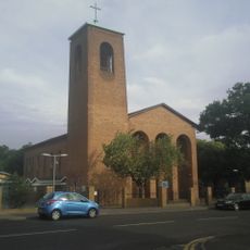
Our Lady of the Angels Church, Erith
2.7 km
One Bell
2.3 km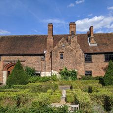
Priory Farmhouse containing the remains of Dartford Priory Gatehouse
2.5 km
Crayford Town Hall
2.4 km
Church of St Paulinus, Crayford
2.2 km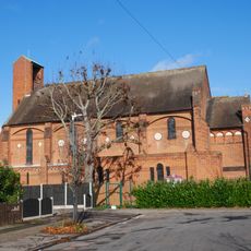
Christ Church
2.6 km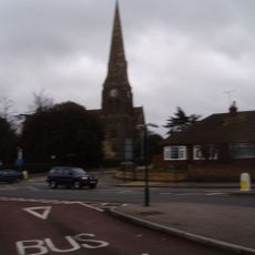
Christ Church
2 km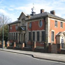
Erith Old Library
2 km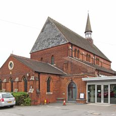
St Paul's
2.7 km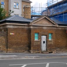
Former West Hill Police Station
2.6 km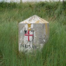
Coal Duty Boundary Marker (On Foreshore, At Mouth Of River Darenth, West Bank)
1.9 km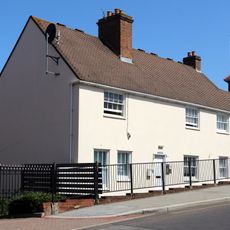
28 And 30, Erith High Street
1.9 km
Crayford War Memorial
2.1 km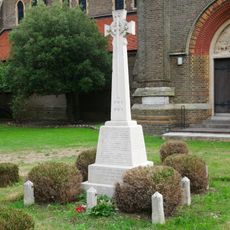
Erith (Christ Church) War Memorial
2 km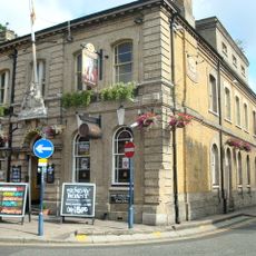
Kent House The County Court
2.8 km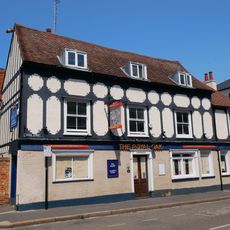
The Royal Oak Public House
2.8 km
The Long Shed (Part Of David Evans Limited Factory At Number 71)
2.5 km
Temple Hill Library
2.8 km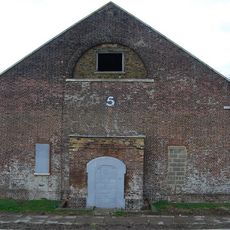
Government Powder Magazine
2.8 km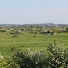
World War II Heavy Anti-Aircraft (Haa) Battery
723 m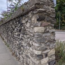
Remains Of Priory Walls In Victoria Road, Kingsfield Terrace And Priory Lane, Including The Doorway In Kingsfield Terrace
2.4 km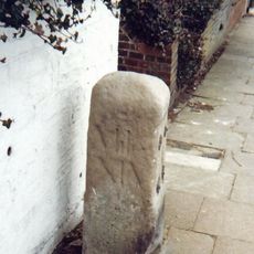
Milestone Opposite Nos 179 And 179A
2.3 km
Crayford Manor House
2.1 km
The Oakwood
2.4 kmReviews
Visited this place? Tap the stars to rate it and share your experience / photos with the community! Try now! You can cancel it anytime.
Discover hidden gems everywhere you go!
From secret cafés to breathtaking viewpoints, skip the crowded tourist spots and find places that match your style. Our app makes it easy with voice search, smart filtering, route optimization, and insider tips from travelers worldwide. Download now for the complete mobile experience.

A unique approach to discovering new places❞
— Le Figaro
All the places worth exploring❞
— France Info
A tailor-made excursion in just a few clicks❞
— 20 Minutes