
Tanah Masa, district in South Nias Regency, North Sumatra Province, Indonesia
Location: South Nias
Capital city: Baluta
GPS coordinates: -0.00758,98.40292
Latest update: March 9, 2025 17:09

Mount Ophir
176.2 km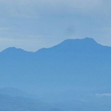
Talamau Mount
176.2 km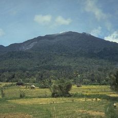
Batang Gadis National Park
146.3 km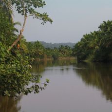
Siberut National Park
162.4 km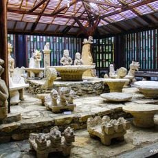
Museum Pusaka Nias
170.1 km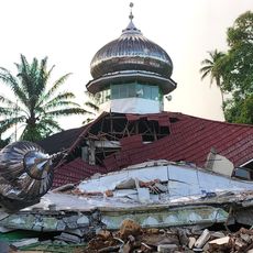
Masjid Raya Kajai
171.1 km
Bawan Tua Mosque
181 km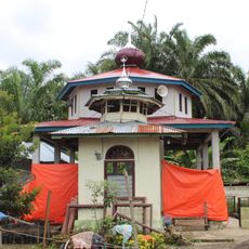
Surau Tuanku Pensiun
171.2 km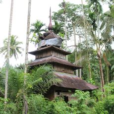
Surau Lama Kesultanan Parit Batu
184.9 km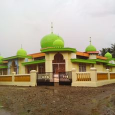
Masjid Al-Abror Lubuk Gobing
124.3 km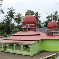
Masjid Nurul Hikmah Surau Lakuak
179.3 km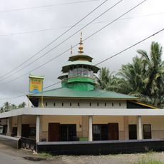
Masjid Baitul Makmur Ujuang Tanah
178.5 km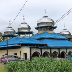
Masjid Suhada Kayu Pasak
188.2 km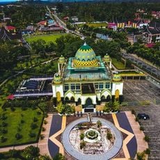
Masjid Nurul Falah Lubuk Basung
184.4 km
Siti Manggopoh Mosque
178 km
Masjid Al-Hikmah Batukambing
185.7 km
Sungkai Mosque
179.2 km
Surau Lubuak Landua
165.7 km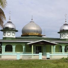
Tiku Grand Mosque
174.5 km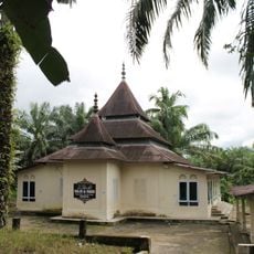
Masjid Al-Manar Padang Tagak
181.1 km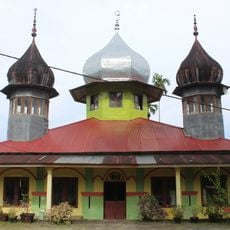
Nurul Huda Simpang Paraman Mosque
180.1 km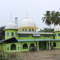
Masjid Baiturrahman Pasar Durian
176.8 km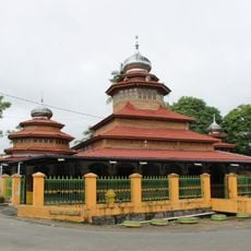
Masjid Al-Manar Parit Panjang
188.5 km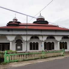
Masjid Mimba Gadang Pasaman
158.2 km
Masjid Nurul Baqa
181.4 km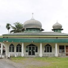
Masjid Baiturrahman Parit Rantang Mudik
187.1 km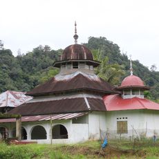
Masjid Simpang Tigo
187.6 km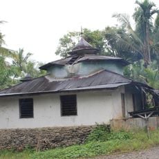
Surau Kampung Bukit
156.9 kmReviews
Visited this place? Tap the stars to rate it and share your experience / photos with the community! Try now! You can cancel it anytime.
Discover hidden gems everywhere you go!
From secret cafés to breathtaking viewpoints, skip the crowded tourist spots and find places that match your style. Our app makes it easy with voice search, smart filtering, route optimization, and insider tips from travelers worldwide. Download now for the complete mobile experience.

A unique approach to discovering new places❞
— Le Figaro
All the places worth exploring❞
— France Info
A tailor-made excursion in just a few clicks❞
— 20 Minutes