
تپههای سه گانه موسی روانسر, Iranian national heritage site
Location: Kermanshah County
GPS coordinates: 34.71667,46.66667
Latest update: November 13, 2025 10:35
Warwasi
49.3 km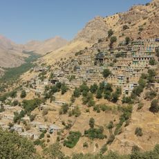
Cultural Landscape of Hawraman/Uramanat
46.8 km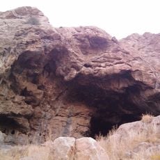
Do-Ashkaft Cave
55.2 km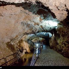
Quri Qala Cave
25.3 km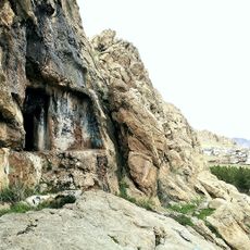
Ravansar Tomb
106 m
Malaverd
52 km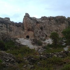
The Stone cave Hossein Kuhkan
37.5 km
تپه کوزران
25.4 km
Ghār-e Kāvāt
23.2 km
Tang-i Var Inscription
32.2 km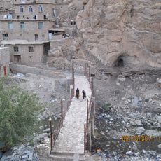
Palangan Bridge
39.6 km
Ghār-e Mal Kāgholām
40.6 km
Mahidasht Caravanserai
51.5 km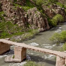
Doavan Bridge
40 km
شهربازی
56 km
کتیبه تاریخی آورامان
33.2 km
BIZ MLM Office
26.4 km
The Stone cave Hossein Kuhkan
37.6 km
نگین دریا
50.2 km
Scenic viewpoint
45.5 km
Scenic viewpoint
46.2 km
Scenic viewpoint
45.5 km
مرقد ویس قرنی
26.9 km
حاجی آباد
20.8 km
کوچکله
55 km
قیه
56.1 km
Monument
55.4 km
Monument
55.1 kmReviews
Visited this place? Tap the stars to rate it and share your experience / photos with the community! Try now! You can cancel it anytime.
Discover hidden gems everywhere you go!
From secret cafés to breathtaking viewpoints, skip the crowded tourist spots and find places that match your style. Our app makes it easy with voice search, smart filtering, route optimization, and insider tips from travelers worldwide. Download now for the complete mobile experience.

A unique approach to discovering new places❞
— Le Figaro
All the places worth exploring❞
— France Info
A tailor-made excursion in just a few clicks❞
— 20 Minutes