Cultural Landscape of Hawraman/Uramanat, Cultural landscape in Zagros Mountains, Iran.
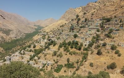
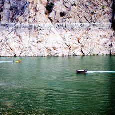
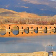
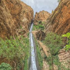
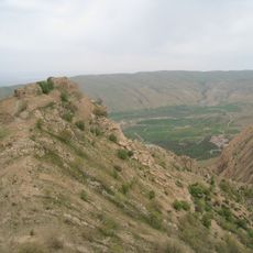
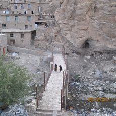
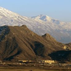
The Cultural Landscape of Hawraman spreads across two valleys in the Zagros Mountains, featuring traditional stone villages with terraced fields built into the steep slopes. The area spans Kermanshah and Kurdistan provinces and displays a carefully engineered system of dry-stone terracing and water management designed for mountain terrain.
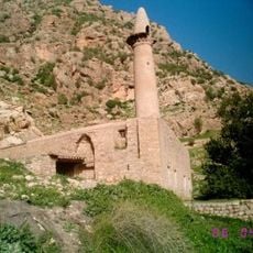
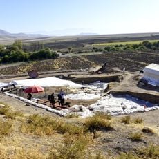
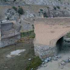
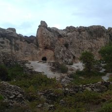
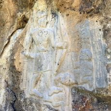
Human presence in this region stretches back at least 40,000 years, as shown by archaeological discoveries in caves and ancient settlements. Over millennia, an agricultural system specifically adapted to mountains developed here and continues to function today.
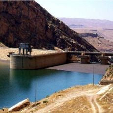
The Hawrami people who live here practice farming methods passed down through generations, visible in how they work the land and manage water. The terraced fields and irrigation channels reflect deep knowledge of mountain agriculture that shapes daily life in these valleys.
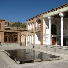
The Palangan Rural Museum offers insight into traditional tools, medicinal plants, and daily life in these mountain communities. Spending time here helps visitors understand how people have adapted their activities to the mountain environment.
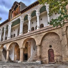
Stone houses climb the steep slopes in vertical steps, with each building's roof functioning as a courtyard for the house directly above it. This ingenious stacking system maximizes the use of limited mountain space and creates an unusual spatial arrangement.
The community of curious travelers
AroundUs brings together thousands of curated places, local tips, and hidden gems, enriched daily by 60,000 contributors worldwide.