
Chiuro, Italian comune
Location: Province of Sondrio
Capital city: Chiuro
Elevation above the sea: 390 m
Shares border with: Castello dell'Acqua, Lanzada, Montagna in Valtellina, Ponte in Valtellina, Teglio, Brusio, Poschiavo
Website: http://comune.chiuro.so.it
GPS coordinates: 46.17082,9.98935
Latest update: April 3, 2025 02:06
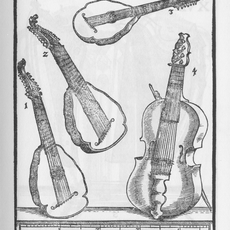
Bandora
5.5 km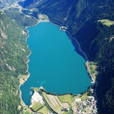
Lago di Poschiavo
14.6 km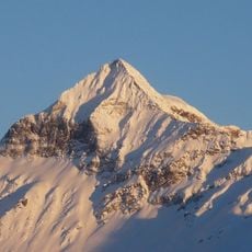
Pizzo Scalino
12.1 km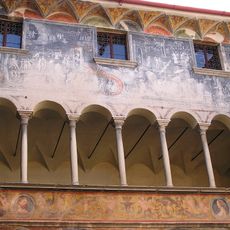
Palazzo Besta
5.5 km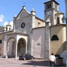
Sant'Eufemia
6 km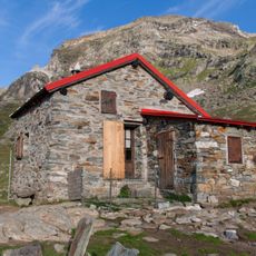
Capanna Cederna-Maffina
10.7 km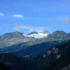
Piz Cancian
12.5 km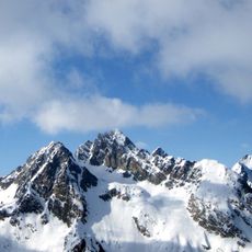
Vetta di Ron
7.8 km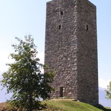
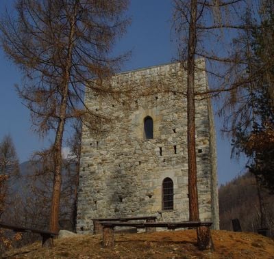
Castle of Teglio
6 km
Piz Cancan
8.2 km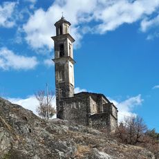
San Gottardo
7 km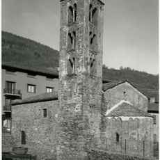
San Pietro
6.2 km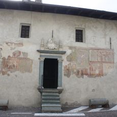
Oratorio dei Bianchi
6 km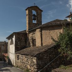
San Silvestro
5.9 km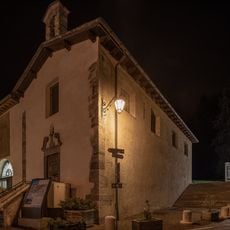
Oratorio dei Neri
6 km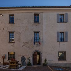
Hôtel de ville
6 km
Cima Vicima
8.7 km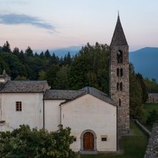
San Martino
4.4 km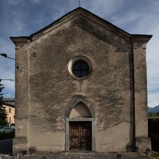
San Lorenzo
5.6 km
Dosso Bruciato
6.1 km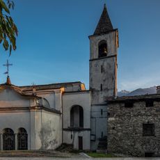
Santi Gervaso e Protaso
5.8 km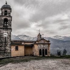
Sant'Antonio
4.2 km
Fil da Salarsa
8.9 km
Dosso Liscio
6.3 km
Piz Combul
7.8 km
Pizzo del Gombaro
9.3 km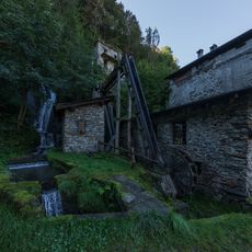
Fucina Cavallari
4.1 km
Monte Calighè
6.8 kmVisited this place? Tap the stars to rate it and share your experience / photos with the community! Try now! You can cancel it anytime.
Discover hidden gems everywhere you go!
From secret cafés to breathtaking viewpoints, skip the crowded tourist spots and find places that match your style. Our app makes it easy with voice search, smart filtering, route optimization, and insider tips from travelers worldwide. Download now for the complete mobile experience.

A unique approach to discovering new places❞
— Le Figaro
All the places worth exploring❞
— France Info
A tailor-made excursion in just a few clicks❞
— 20 Minutes