
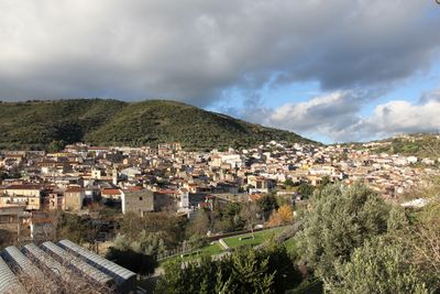
Orani, Italian comune
Location: Province of Nuoro
Elevation above the sea: 540 m
Shares border with: Benetutti, Bolotana, Illorai, Mamoiada, Nuoro, Oniferi, Orotelli, Ottana, Sarule
Website: http://comune.orani.nu.it
GPS coordinates: 40.24944,9.17833
Latest update: April 3, 2025 02:03
San Nicola
11.7 km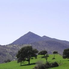
Monte Gonare
3.2 km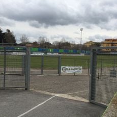
Stade Franco-Frogheri
14.3 km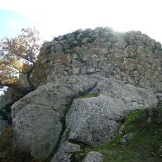
Nuraghe Tanca Manna
14.2 km
Museo delle Maschere Mediterranee
9.9 km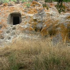
Necropolis of Sas Concas
4.7 km
Sant'Andrea
375 m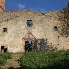
Campusantu Vezzu
377 m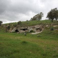
Necropolis of Molia
13.9 km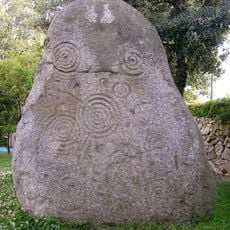
Sa Perda Pinta
9 km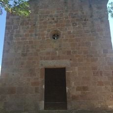
Chiesa di San Pietro di Oddini
11.4 km
Domus de janas di Sa Concas
4.7 km
Sant'Antonio
11.7 km
Discoteca "Marabù"
9.6 km
Nostra Signora d'Itria
117 m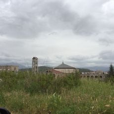
Saint Dominic church
13.1 km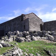
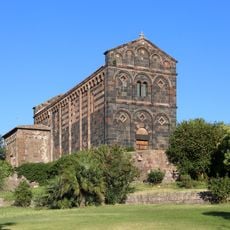
Nostra Signora di Gonare
3.2 km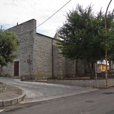
Chiesa di San Lussorio
8 km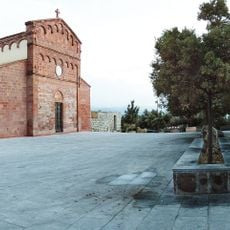
Chiesa San Giovanni
8.2 km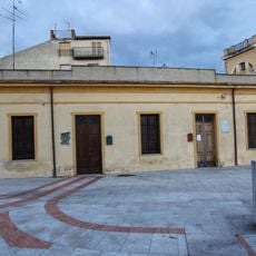
Delitala Collection
104 m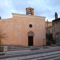
Santa Croce
91 m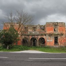
Casa cantoniera del Tirso
15 km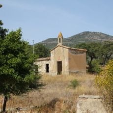
Sacro Cuore
16.7 km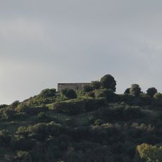
San Paolo
670 m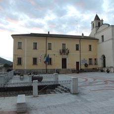
Town hall of Orani
110 m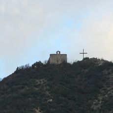
San Francesco
1 km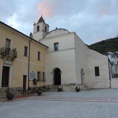
Chiesa e convento dei Frati minori osservanti
136 m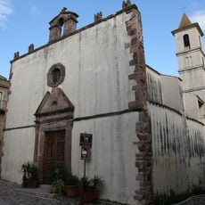
Chiesa del Rosario
95 mReviews
Visited this place? Tap the stars to rate it and share your experience / photos with the community! Try now! You can cancel it anytime.
Discover hidden gems everywhere you go!
From secret cafés to breathtaking viewpoints, skip the crowded tourist spots and find places that match your style. Our app makes it easy with voice search, smart filtering, route optimization, and insider tips from travelers worldwide. Download now for the complete mobile experience.

A unique approach to discovering new places❞
— Le Figaro
All the places worth exploring❞
— France Info
A tailor-made excursion in just a few clicks❞
— 20 Minutes