Shikoku Saburo Bridge, Transportation bridge in Tokushima Prefecture, Japan.
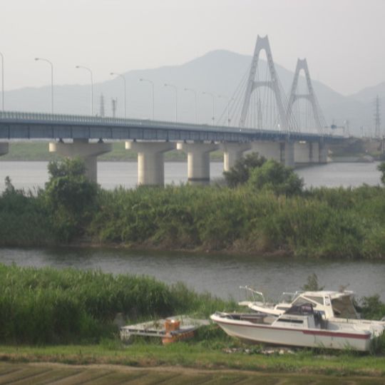
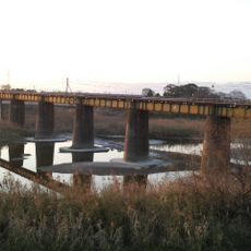
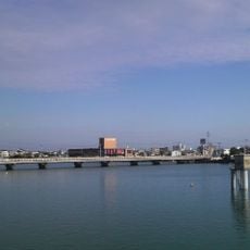
Shikoku Saburo Bridge is a road bridge spanning the Yoshino River in Tokushima Prefecture, connecting two riverbanks. The structure features a two-lane roadway that allows traffic to move between the communities on either side.
The structure opened in 1998 as part of a major infrastructure project connecting Japan's islands across the Inland Sea. It contributed to improved access and development in the Shikoku region.
The bridge crosses the Yoshino, one of Japan's three major rivers, linking two communities on opposite banks. The name reflects local geographical and cultural identity of the Tokushima area.
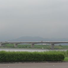
The bridge allows vehicles to cross the Yoshino River between Ojin-cho and Fudouhigashi-cho. Visitors can experience the structure from road traffic or view it from the riverbanks below.
The structure was specifically designed to provide access for emergency vehicles and support maintenance operations. These features remain largely invisible to regular traffic but are essential for ongoing safety.
The community of curious travelers
AroundUs brings together thousands of curated places, local tips, and hidden gems, enriched daily by 60,000 contributors worldwide.
