河內山本, Traditional neighborhood in Yao, Japan
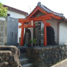
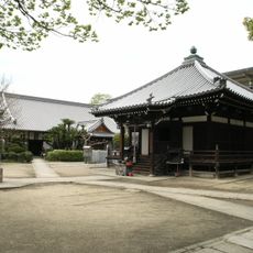
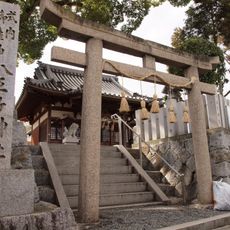
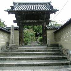
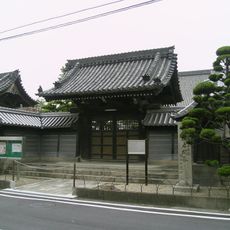
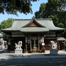
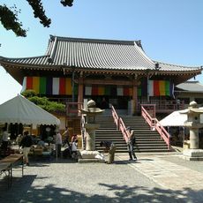
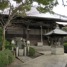
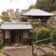
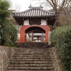
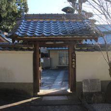
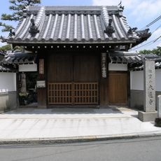
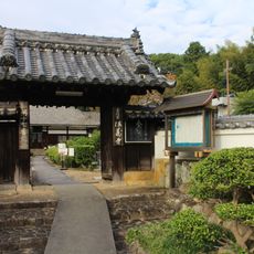
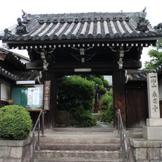
Yamamoto is a traditional residential neighborhood in Yao featuring winding stone paths that connect multiple temples and wooden houses across the district. The layout reveals layers of structures preserved from earlier centuries, with narrow passages linking different sections.
The neighborhood formed during the Edo period as a transit route between Osaka and Nara, retaining architectural features from the 17th century. Its role as an important passage point shaped how the district developed and continues to influence its character.
Local artisans keep pottery workshops active in the area, demonstrating techniques handed down through families over many generations. This craft tradition shapes how residents connect with their surroundings and maintain local identity.
The area connects to central Osaka via the Kintetsu-Osaka line at Yamamoto station, with regular train service throughout the day. The walkable layout and manageable distances make it easy for visitors to explore the neighborhood on foot.
Mountain trails near the area lead to viewpoints where visitors can see both Osaka Bay and Mount Ikoma spread across the horizon. These elevated spots offer an unexpectedly wide perspective on the surrounding region.
The community of curious travelers
AroundUs brings together thousands of curated places, local tips, and hidden gems, enriched daily by 60,000 contributors worldwide.