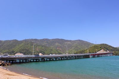
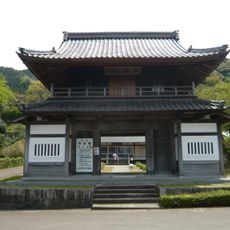
青戶的大橋, Coastal bridge in Oi District, Fukui Prefecture, Japan.
The Aoto Bridge is a road bridge in Fukui Prefecture that spans across Obama Bay. It connects the mainland with the Oshima Peninsula and carries both vehicle and pedestrian traffic daily.
Construction between 1973 and 1974 freed residents of the Oshima Peninsula from ferry dependence. This new connection allowed the previously isolated community to integrate with the mainland for the first time.
The bridge is simply called Aoto-no-Oohashi locally, and residents from both sides now move freely across it daily for work and school. The crossing has become a routine part of life for people living on the peninsula, changing how communities on either side interact with each other.
The bridge has two lanes, one in each direction, and is used equally by cars and pedestrians. On clear days it offers good views of the surrounding bay and nearby mountains.
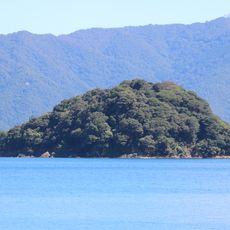
Tour boats regularly pass underneath the bridge, revealing Mount Aoba, which locals call Wakasa Fuji. This view from the water is one of the region's most popular vantage points.
The community of curious travelers
AroundUs brings together thousands of curated places, local tips, and hidden gems, enriched daily by 60,000 contributors worldwide.