
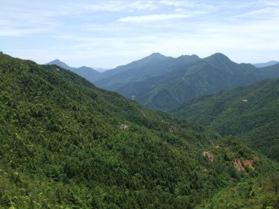
Ōzare yama, mountain in Kōchi pref.
Location: Okawa
Elevation above the sea: 1,587.6 m
GPS coordinates: 33.82111,133.39439
Latest update: March 24, 2025 06:31
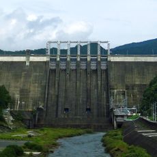
Sameura Dam
16.1 km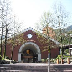
Minetopia Besshi
11.9 km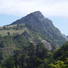
Mount Kamegamori
18.8 km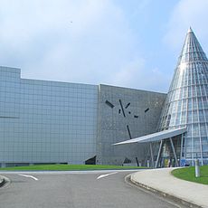
Ehime Prefectural Science Museum
17 km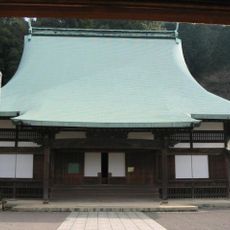
Zuiō-ji
13.9 km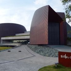
Akagane Museum
17 km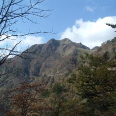
Mount Iyo-Fuji
14 km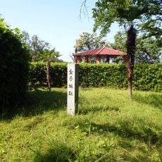
Château de Kaneko
17.8 km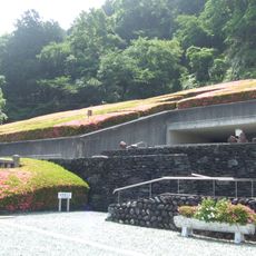
Besshi Copper Mine Memorial Museum
13.6 km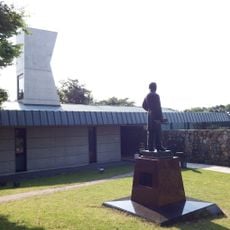
Hirose Memorial Museum
14.8 km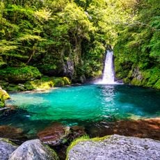
Niko Deep / Nikobuchi
13.8 km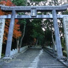
Uchinomiya-jinja
13.7 km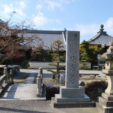
Enmei-ji
15.3 km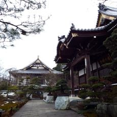
Jigenji (Niihama)
17.6 km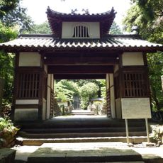
新長谷寺
18.4 km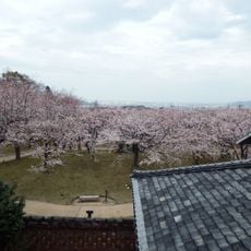
Hirose Park
14.8 km
Takinomiya Park
17.6 km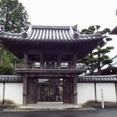
Hagyuji
16.1 km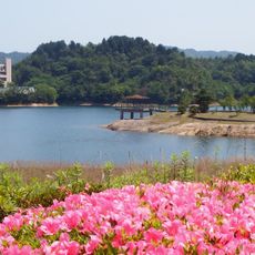
Ikedaike Park
14 km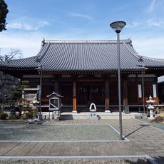
Myoshoji
18.8 km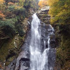
Mado Falls
10.3 km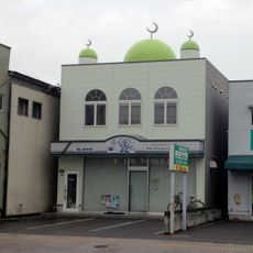
Niihama Masjid
18.8 km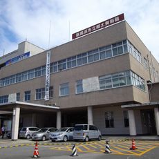
新居浜市立郷土美術館
18.6 km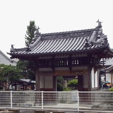
Ryutokuji
15.5 km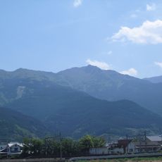
Mount Toyouke
14.3 km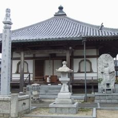
Kenju-in Temple
16.5 km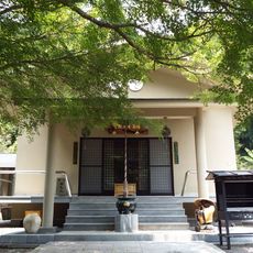
真観寺
15.1 km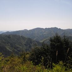
Mount Inamura
8.9 kmReviews
Visited this place? Tap the stars to rate it and share your experience / photos with the community! Try now! You can cancel it anytime.
Discover hidden gems everywhere you go!
From secret cafés to breathtaking viewpoints, skip the crowded tourist spots and find places that match your style. Our app makes it easy with voice search, smart filtering, route optimization, and insider tips from travelers worldwide. Download now for the complete mobile experience.

A unique approach to discovering new places❞
— Le Figaro
All the places worth exploring❞
— France Info
A tailor-made excursion in just a few clicks❞
— 20 Minutes