
Kamanaka Daki, Wasserfall in Japan
Location: Wakayama Prefecture
Elevation above the sea: 389 m
GPS coordinates: 34.09917,135.24222
Latest update: June 10, 2025 20:54

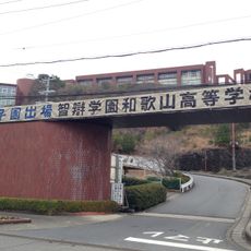
Chiben Gakuen Wakayama Elementary, Junior High, and High School
8.8 km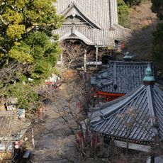
Kimii-dera
10.7 km
Kamayama Shrine
11.8 km
Fujishiro Shrine
5.9 km
Chōhō-ji
7.2 km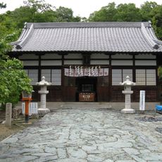
Tamatsushima Shrine
11.8 km
Yuasa
9.3 km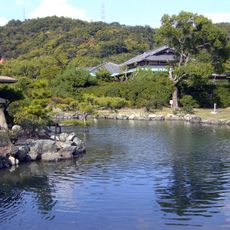
Onzansō-en
7.9 km
Hiromura Seawall
10.3 km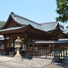
Susa-jinja
10 km
Furōbashi
11.7 km
Inamura-no-Hi no Yakata
10.4 km
Shiogama Shrine
11.7 km
Wakayama Prefectural Museum of Natural History
8.1 km
橘本神社
5.1 km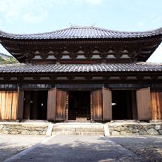
Zenpuku-in
6.9 km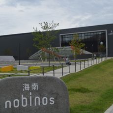
Kainan nobinos
6.9 km
野上八幡宮
8.8 km
静火神社
12 km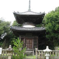
Kaizen-in
11.7 km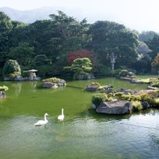
Chōkyū-tei
6.3 km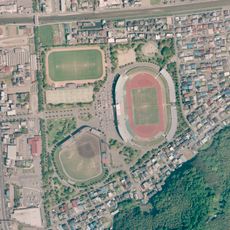
Kimiidera Park
8.8 km
Wakanoura Art Cube
11.7 km
Yuasa Town Public Library
9 km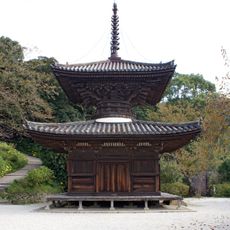
長保寺多宝塔
7.1 km
Porto Europa
8.6 km
Kimiidera Athletic Stadium
8.9 km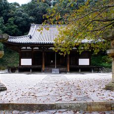
長保寺本堂
7.1 kmReviews
Visited this place? Tap the stars to rate it and share your experience / photos with the community! Try now! You can cancel it anytime.
Discover hidden gems everywhere you go!
From secret cafés to breathtaking viewpoints, skip the crowded tourist spots and find places that match your style. Our app makes it easy with voice search, smart filtering, route optimization, and insider tips from travelers worldwide. Download now for the complete mobile experience.

A unique approach to discovering new places❞
— Le Figaro
All the places worth exploring❞
— France Info
A tailor-made excursion in just a few clicks❞
— 20 Minutes