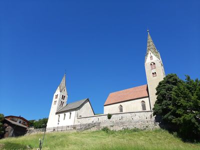
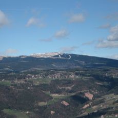
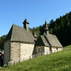
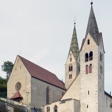
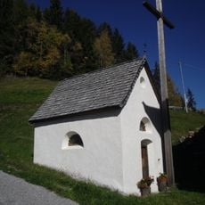
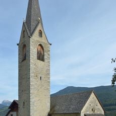
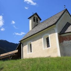
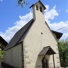
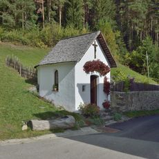
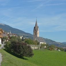
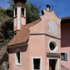
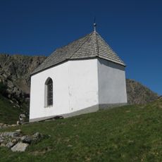
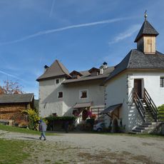
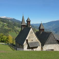
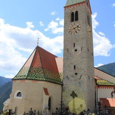
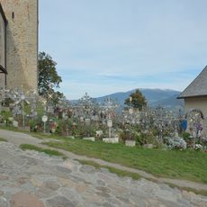
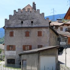
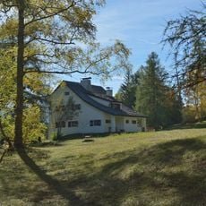
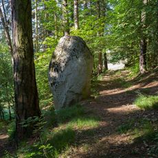
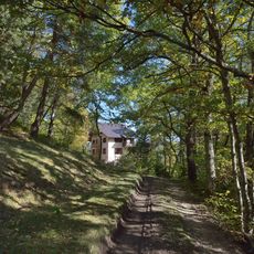
Villanders, municipality in South Tyrol, Italy
Location: South Tyrol
Capital city: Villanders
Elevation above the sea: 880 m
Shares border with: Barbian, Ritten, Sarntal, Klausen, Laion/Lajen
Address: 39040 Villanders, Autonomous Province of Bolzano – South Tyrol, Italy
Website: http://gemeinde.villanders.bz.it
GPS coordinates: 46.63293,11.54010
Latest update: June 23, 2025 15:11
Rittner Horn
6.3 km
St. Gertraud, St. Nikolaus, St. Magdalena in Dreikirchen
2.8 km
Monte Villandro
9.7 km
St. Stephen
8 m
Mine Villanders
2.4 km
Kapelle zur Schmerzhaften in Runggalten
4.2 km
Saint Valentine
1.2 km
St. Peter im Wald in Latzfons
4.7 km
Unsere Liebe Frau im Dorf, Latzfons
4.2 km
Kapelle Prackfiederer Villanders
2.2 km
St. Moritz in Sauders
1.2 km
Cemetery chapel Villanders
8 m
Heilig-Kreuz-Kapelle
1.7 km
Totenkirchl
8.4 km
St. Gertraud
2.8 km
Pardell
1.1 km
St. Nicholas
2.8 km
Pfarrkirche St. Jakob mit Friedhof, Latzfons
4.1 km
Cemetery of Villanders
33 m
Sankt Anna Villanders
2.4 km
St. Stephan with cemetery chapel and cemetery
8 m
Kapelle Parndle Villanders
1.7 km
St. Magdalene
2.8 km
Fragburg
1.7 km
Villa Baldauf Dreikirchen
2.9 km
Menhir Ums
1.8 km
Neubau
3 km
Castagno
1.9 kmVisited this place? Tap the stars to rate it and share your experience / photos with the community! Try now! You can cancel it anytime.
Discover hidden gems everywhere you go!
From secret cafés to breathtaking viewpoints, skip the crowded tourist spots and find places that match your style. Our app makes it easy with voice search, smart filtering, route optimization, and insider tips from travelers worldwide. Download now for the complete mobile experience.
A unique approach to discovering new places❞
— Le Figaro
All the places worth exploring❞
— France Info
A tailor-made excursion in just a few clicks❞
— 20 Minutes