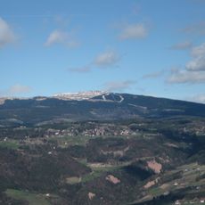
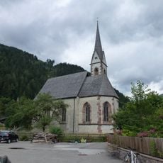
Villanderer Berg, Mountain summit in South Tyrol, Italy.
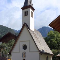
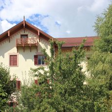
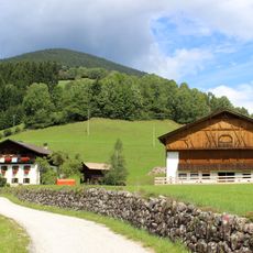
Monte Villandro is a mountain summit in South Tyrol reaching 2,509 meters (8,232 feet), with multiple hiking routes crossing through forests, alpine meadows, and rocky sections. The paths offer varying difficulty levels as they wind through changing landscapes from lower to higher elevations.
Surveys identified this mountain as the geographical center of South Tyrol, leading to special recognition of its location. This discovery has remained significant for understanding the region's geographic boundaries ever since.
The mountain holds special meaning as the geographical center of South Tyrol, giving it symbolic importance in the region's identity. This central position makes it a landmark that connects the area's different communities and valleys.
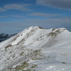
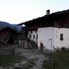
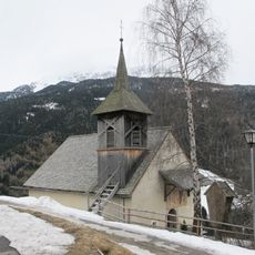
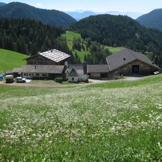
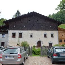
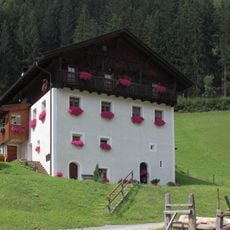
The main walking route starts from the Riedlerhof car park at 1,510 meters (4,954 feet) and climbs through wooded terrain before reaching the Tengler alpine tavern. Strong hiking boots and reasonable fitness help because the ascent continues steeply to the summit over the remaining distance.
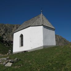
A granite globe marks the summit as the geographical center of South Tyrol, offering a concrete landmark for this status that visitors can see and touch. This modern marker sits alongside a traditional wooden cross, blending a recent geographic achievement with centuries of alpine climbing heritage.
The community of curious travelers
AroundUs brings together thousands of curated places, local tips, and hidden gems, enriched daily by 60,000 contributors worldwide.