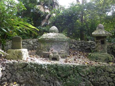
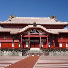
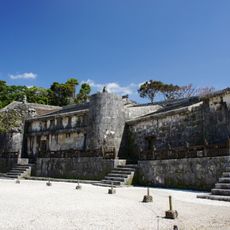
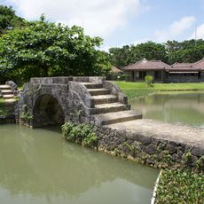
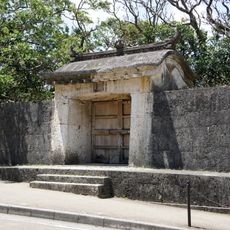
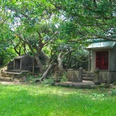
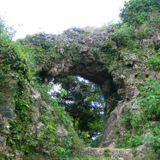
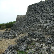
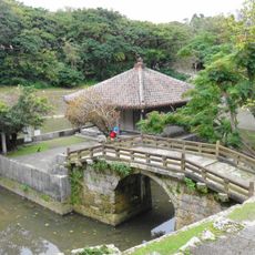
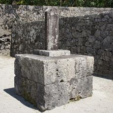
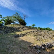
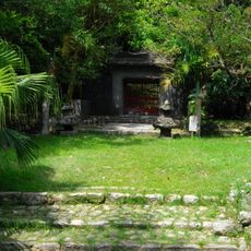
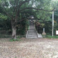
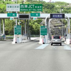
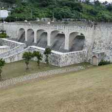
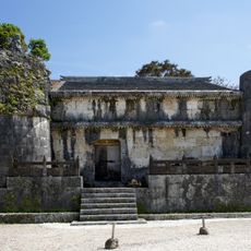
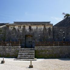
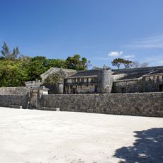
Ōzato, dissolved municipality in Shimajiri district, Okinawa prefecture, Japan
Location: Shimajiri District
Inception: April 1, 1908
GPS coordinates: 26.17611,127.74453
Latest update: April 15, 2025 13:21
Shuri Castle
5.2 km
Shureimon
5.4 km
Tamaudun
5.6 km
Shikina-en
4.3 km
Gyokusendō
4.4 km
Tomori Stone Lion
5.1 km
Sonohyan-utaki
5.4 km
Okinawa Shrine
4.8 km
Madan Bridge
5.4 km
Tamagusuku Castle
5.1 km
Itokazu Castle
3.3 km
Tennyo Bridge
5.4 km
Tamaudun epitaph
5.6 km
Ōzato Castle
4.6 km
No. 1 Middle School Apprentice Team Information Exhibition Room
5.5 km
首里りうぼう
5.4 km
Yonabaru Station
2.9 km
Sashiki yōdore
4.7 km
Enkaku-ji
5.3 km
Mount Bengadake
4.9 km
Sashiki Castle
4.7 km
ハブ博物公園
4 km
Nishihara JCT toll booth
5.1 km
Kinjo Dam
4.8 km
Eastern Chamber
5.5 km
Western Chamber
5.6 km
Central Chamber
5.6 km
Inner Stone Wall
5.6 kmReviews
Visited this place? Tap the stars to rate it and share your experience / photos with the community! Try now! You can cancel it anytime.
Discover hidden gems everywhere you go!
From secret cafés to breathtaking viewpoints, skip the crowded tourist spots and find places that match your style. Our app makes it easy with voice search, smart filtering, route optimization, and insider tips from travelers worldwide. Download now for the complete mobile experience.
A unique approach to discovering new places❞
— Le Figaro
All the places worth exploring❞
— France Info
A tailor-made excursion in just a few clicks❞
— 20 Minutes