Enable Location

We need your location to show you interesting places around you

Discover nearby places

Find interesting locations and hidden gems around you

Precise directions

Get accurate directions and distances to places

Your location is never shared with other users. It's only used when you tap the location button.

Log in to your account

Start exploring — it's free

Trusted by 61,876 travelers worldwide

Continue with Google
Continue with Apple
or

We will send you a code to connect

By continuing, you accept our Terms and Conditions and our Privacy Policy

Check your inbox

We've sent a pincode in your inbox. Please enter the code below.

Spaarnwoude

Spaarnwoude, Recreation area in Haarlemmermeer, Netherlands

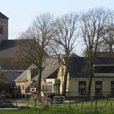
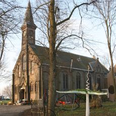
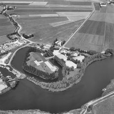
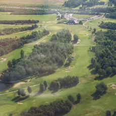
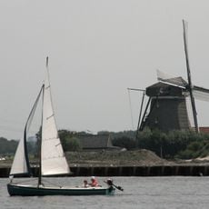
Spaarnwoude is a large recreation area in Haarlemmermeer created from former farmland, combining forests, lakes, and polder landscapes together. The site features multiple swimming spots, including sandy beach areas and different water bodies for swimming and water activities.

The area was created in the 1960s when landscape architect Jacoba Mulder transformed farmland into a park with extensive forests and water features. This transformation turned working agricultural land into a versatile public recreation space.

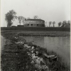
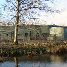
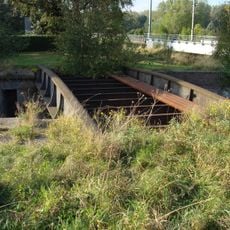
The Forts Route spans 6.24 kilometers through Haarlemmermeer, connecting multiple defensive structures that form part of the Amsterdam Defense Line.

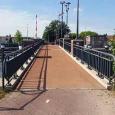
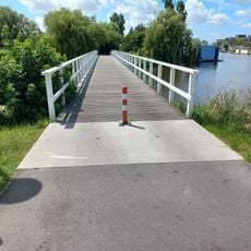
The area can be explored easily on foot or by bicycle, with good paths through forests and alongside water bodies. The infrastructure is well developed, with clear signage and various routes for different abilities.

A pyramid-shaped viewing hill called Big Spotters Hill rises from the otherwise flat landscape and is used year-round for training and observation. This unexpected elevation change provides a striking contrast to the flat polder surroundings.

The community of curious travelers

AroundUs brings together thousands of curated places, local tips, and hidden gems, enriched daily by 60,000 contributors worldwide.

Start exploring
Location
GPS coordinates
52.40000,4.71667
Latest update
December 11, 2025 11:01
« Spaarnwoude - Recreation area in Haarlemmermeer, Netherlands » is provided by Around Us (aroundus.com). Images and texts are derived from Wikimedia project under a Creative Commons license. You are allowed to copy, distribute, and modify copies of this page, under the conditions set by the license, as long as this note is clearly visible.

Discover hidden gems everywhere you go!

From secret cafés to breathtaking viewpoints, skip the crowded tourist spots and find places that match your style. Our app makes it easy with voice search, smart filtering, route optimization, and insider tips from travelers worldwide. Download now for the complete mobile experience.

Around Us App Screenshot

A unique approach to discovering new places

Le Figaro

All the places worth exploring

France Info

A tailor-made excursion in just a few clicks

20 Minutes

Around Us
Travel Guide & Maps
Download

Send to your phone

QR Code
1

Open the camera app on your mobile.

2

Point at the QR code with your camera. A notification will appear.

3

Tap the notification to open the link.