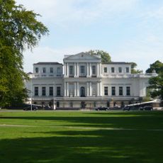
Haarlemmermeer, Municipality in North Holland, Netherlands.
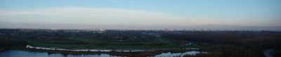
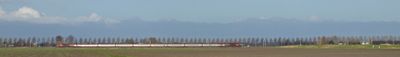
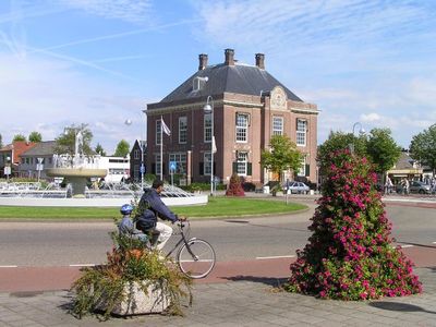
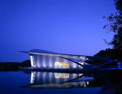
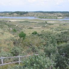
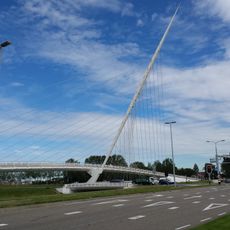
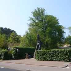
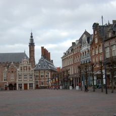
Haarlemmermeer is a municipality in North Holland with several residential areas connected by a network of roads and cycle paths. The territory extends across flat land with fields, ditches and modern housing developments.
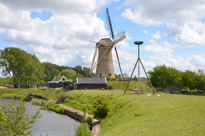
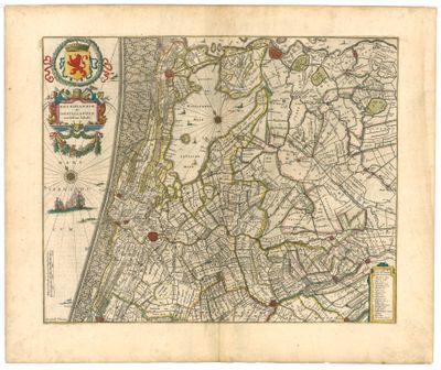
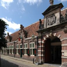
Engineers and workers drained the Haarlemmermeer lake between 1840 and 1852, creating new land for agriculture and settlement. In the following decades the region developed into an economic center with connections to surrounding cities.
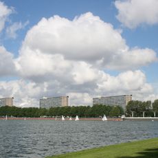
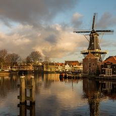
The name Haarlemmermeer recalls the large inland lake that once covered this area until it was drained in the mid-19th century. Today residents and visitors travel along straight roads through open countryside where water once shaped the view.
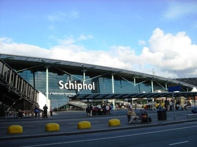
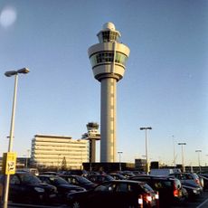
The municipality sits between Amsterdam and The Hague, so travelers can reach both cities easily. Cycle paths run throughout the area and make navigation simple on the flat terrain.
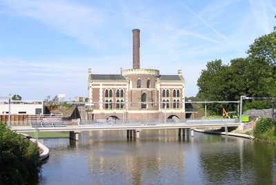
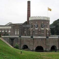
The entire municipal area sits roughly four meters below sea level and relies on dikes, canals and pumping stations for protection. Without these engineering works the land would return to water.
The community of curious travelers
AroundUs brings together thousands of curated places, local tips, and hidden gems, enriched daily by 60,000 contributors worldwide.