
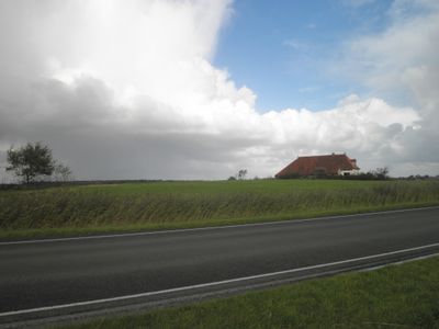
Terrein met sporen van bewoning, archaeological site in Terschelling, Netherlands
Location: Terschelling
Address: Hoofdweg bij Horp
GPS coordinates: 53.37776,5.26753
Latest update: March 28, 2025 04:51
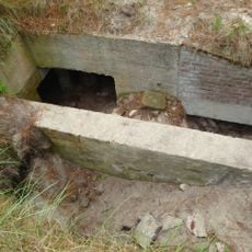
Bunker Museum Terschelling
2.6 km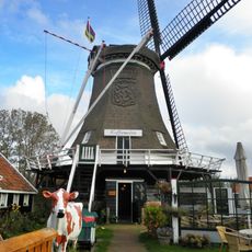
Koffiemolen
2.7 km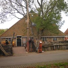
Wrakkenmuseum
3.3 km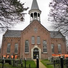
Hervormde kerk, Midsland
1.3 km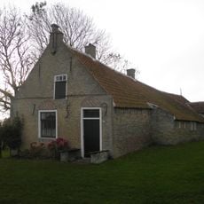
Formerum Zuid 3, Formerum
2.8 km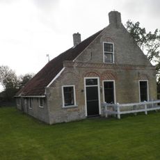
Formerum Zuid 7, Formerum
3 km
Formerum 77, Formerum
3.4 km
Formerum 38, Formerum
3.4 km
Oosterburen 12, Midsland
1.4 km
Formerum 81, Formerum
3.4 km
Formerum 9, Formerum
2.7 km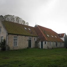
Formerum Zuid 6, Formerum
2.9 km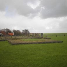
Strieper Kerkhof
1.1 km
Strijperkerkhof, Midsland
1.1 km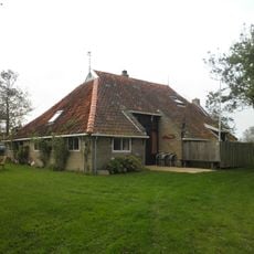
Formerum Zuid 10, Formerum
3.2 km
Tuintjesweg 4, Striep
1.5 km
Formerum Zuid 8, Formerum
3 km
Oosterburen 3, Midsland
1.3 km
Oosterburen 4, Midsland
1.3 km
Oosterburen 5, Midsland
1.4 km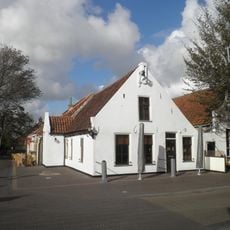
Pandje onder zadeldak tussen puntgevels met gepleisterde voorgevel met toppilaster
1.3 km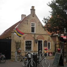
Oosterburen 23, Midsland
1.4 km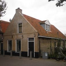
Oosterburen 40, Midsland
1.5 km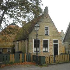
Westerburen 8, Midsland
1.3 km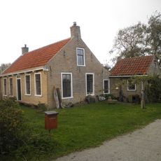
Formerum Zuid 4, Formerum
2.9 km
Eenvoudig huisje in de vorm van een boerderijtje aan de voet van de molen
2.8 km
Ynzeweg 4, Formerum
2.7 km
Archaeological monument, Formerum
3.4 kmReviews
Visited this place? Tap the stars to rate it and share your experience / photos with the community! Try now! You can cancel it anytime.
Discover hidden gems everywhere you go!
From secret cafés to breathtaking viewpoints, skip the crowded tourist spots and find places that match your style. Our app makes it easy with voice search, smart filtering, route optimization, and insider tips from travelers worldwide. Download now for the complete mobile experience.

A unique approach to discovering new places❞
— Le Figaro
All the places worth exploring❞
— France Info
A tailor-made excursion in just a few clicks❞
— 20 Minutes