
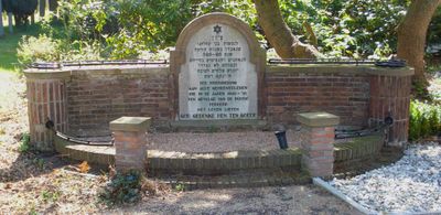
War memorial at Jewish cemetery Toepad, war memorial in Rotterdam, the Netherlands
Location: Rotterdam
Inception: 1947
Official opening: September 7, 1947
Address: Toepad, 3063 NJ, Rotterdam (Rotterdam), Zuid-Holland, Nederland
GPS coordinates: 51.90824,4.53390
Latest update: March 13, 2025 04:08

Van Brienenoordbrug
777 m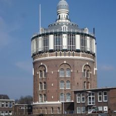
Water tower, Rotterdam-Kralingen
1.1 km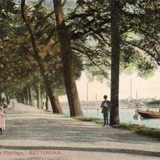
Oude Plantage
1.3 km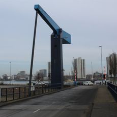
Piekbrug
1.5 km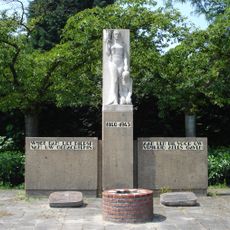
Monument 1940-1945
1.3 km
2e Eiland van Brienenoordbrug
967 m
Zuiddiepjebrug
1.2 km
De Arend en de Zeemeeuwbrug
1.2 km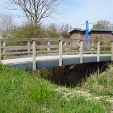
Kralingseveerbrug
1.5 km
IT
1.1 km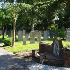
Toepad Jewish Cemetery
239 m
Adriaen Janszkerk
1.3 km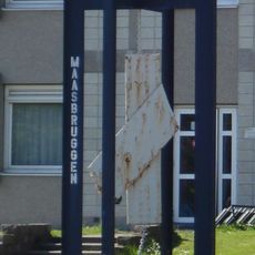
Maasbruggen
429 m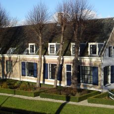
De Rozenhof
847 m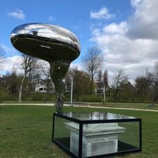
Der Stein des Weisen
1.4 km
Untitled
458 m
City People
1.2 km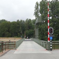
Ben Schopbrug
1.1 km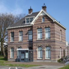
Villa-achtige woning met verdieping onder samenstel van zadel- en schilddaken, opgetrokken in baksteen, afgewisseld met gele ijsselsteenbanden
1 km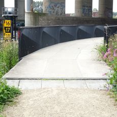
1e Eiland van Brienenoordbrug
1.1 km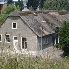
Schaardijk 482, Rotterdam
1 km
Untitled ('Alma Mater')
1.2 km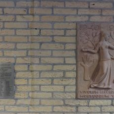
Monument in de Erasmus Universiteit
1.3 km
Untitled
1.2 km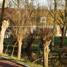
Boerderij, bestaande uit een parallel aan de dijk gebouwd woonhuis, onder een zadeldak met de daarnaast gelegen stal. In het woonhuis vensters met luiken en 12-ruitsschuiframen
833 m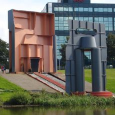
Sjatoodoo
1.3 km
Pierre Bayle Memorial
1.4 km
Laboratorium
1.1 kmVisited this place? Tap the stars to rate it and share your experience / photos with the community! Try now! You can cancel it anytime.
Discover hidden gems everywhere you go!
From secret cafés to breathtaking viewpoints, skip the crowded tourist spots and find places that match your style. Our app makes it easy with voice search, smart filtering, route optimization, and insider tips from travelers worldwide. Download now for the complete mobile experience.

A unique approach to discovering new places❞
— Le Figaro
All the places worth exploring❞
— France Info
A tailor-made excursion in just a few clicks❞
— 20 Minutes