
Bevrijdingsboom, war memorial in Anloo, the Netherlands
Location: Aa en Hunze
Address: Anloo (Aa en Hunze), Drenthe, Nederland
GPS coordinates: 53.04299,6.69736
Latest update: March 13, 2025 00:34

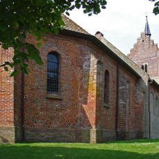
Nederlands Hervormde Kerk, Anloo
30 m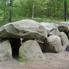
D8
1.9 km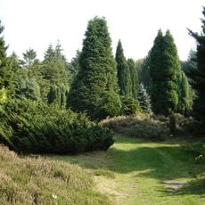
Pinetum Ter Borgh
1.7 km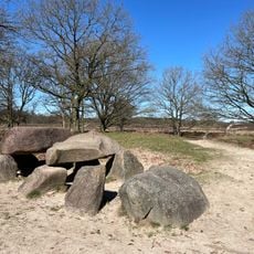
D10
2.6 km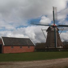
De Zwaluw
3.7 km
D7
2.2 km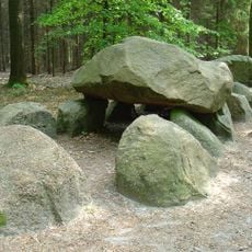
D11
1.6 km
D9
2.4 km
D12
3.6 km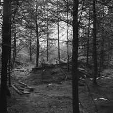
Onderduikershol (Anloo)
2 km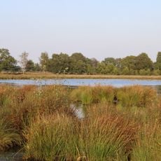
Scheebroekenloopje
3.6 km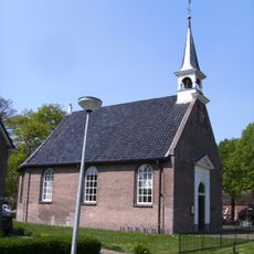
Hervormde Kerk
3.8 km
Kosterswoning
38 m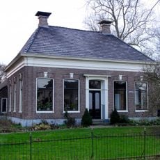
Kerkstraat 2
3.7 km
Rijksbeschermd gezicht Anloo
4 m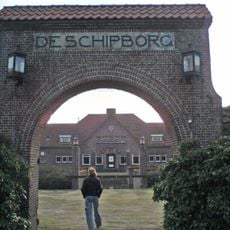
De Schipborg
2.1 km
De Zwaluw, Oudemolen
3.7 km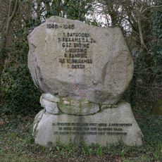
Verzetsmonument
3.6 km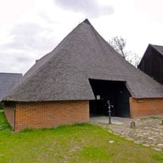
Lunsenhof 20, Anloo
231 m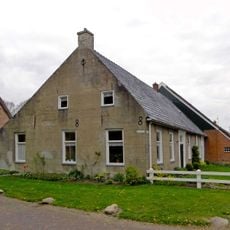
Brinkstraat 5, Anloo
103 m
Roelof Gerardus Jantiena
2.3 km
Boerderij met zijbaander en woondeel met rechte top
49 m
Terborgh
580 m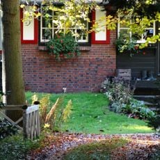
Terborgh, dienstwoning
550 m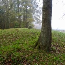
Terrein met grafheuvel
2 km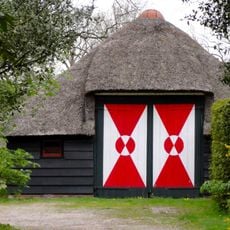
Terborgh, garage
580 m
Kerkbrink 6, Anloo
85 m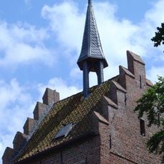
Hervormde kerk, toren
44 mReviews
Visited this place? Tap the stars to rate it and share your experience / photos with the community! Try now! You can cancel it anytime.
Discover hidden gems everywhere you go!
From secret cafés to breathtaking viewpoints, skip the crowded tourist spots and find places that match your style. Our app makes it easy with voice search, smart filtering, route optimization, and insider tips from travelers worldwide. Download now for the complete mobile experience.

A unique approach to discovering new places❞
— Le Figaro
All the places worth exploring❞
— France Info
A tailor-made excursion in just a few clicks❞
— 20 Minutes