
Oorlogsmonument, war memorial in Baambrugge, the Netherlands
Location: De Ronde Venen
Address: Rijksstraatweg, 1396 JC, Baambrugge (Ronde Venen), Utrecht, Nederland
GPS coordinates: 52.24446,4.99235
Latest update: March 3, 2025 04:32

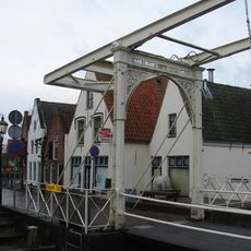
Ophaalbrug, Baambrugge
279 m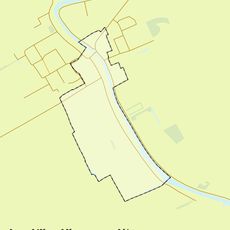
Rijksbeschermd gezicht Baambrugge
105 m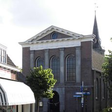
Nederlands Hervormde Kerk
264 m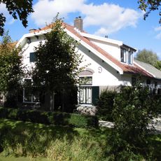
Paddenburg
164 m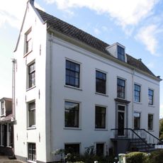
Vrederust, Baambrugge
218 m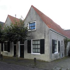
Dorpsstraat 12, Baambrugge
230 m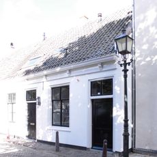
Dorpsstraat 39, Baambrugge
133 m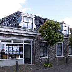
Dorpsstraat 5, Baambrugge
232 m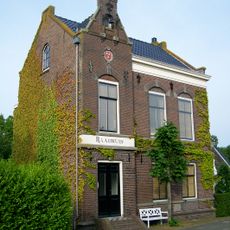
Vrijstaand voormalig raadhuis
257 m
Dorpsstraat 35, Baambrugge
137 m
Dorpsstraat 27, Baambrugge
178 m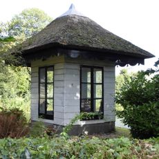
Vrederust: houten kapel
214 m
Dorpsstraat 10, Baambrugge
235 m
Dorpsstraat 31, Baambrugge
159 m
Dorpsstraat 33, Baambrugge
151 m
Dorpsstraat 11, Baambrugge
236 m
Brugstraat 3, Baambrugge
282 m
Dorpsstraat 43, Baambrugge
109 m
Dorpsstraat 45, Baambrugge
98 m
Dorpsstraat 29, Baambrugge
168 m
Dorpsstraat 9, Baambrugge
237 m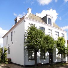
Dorpsstraat 21, Baambrugge
197 m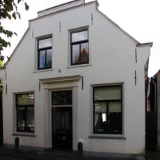
Dorpsstraat 14, Baambrugge
224 m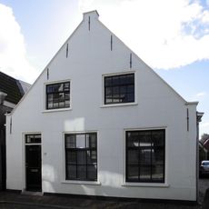
Dorpsstraat 22, Baambrugge
181 m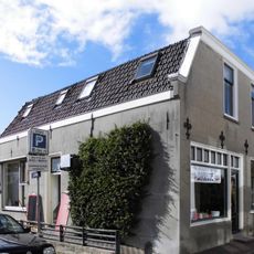
Dorpsstraat 24, Baambrugge
179 m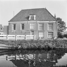
Pand met gepleisterde topgevel met opkamer
271 m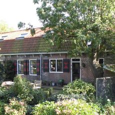
Rijksstraatweg 83, Baambrugge
183 m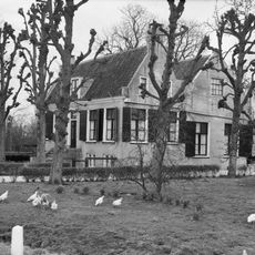
Rijksstraatweg 89, Baambrugge
251 mReviews
Visited this place? Tap the stars to rate it and share your experience / photos with the community! Try now! You can cancel it anytime.
Discover hidden gems everywhere you go!
From secret cafés to breathtaking viewpoints, skip the crowded tourist spots and find places that match your style. Our app makes it easy with voice search, smart filtering, route optimization, and insider tips from travelers worldwide. Download now for the complete mobile experience.

A unique approach to discovering new places❞
— Le Figaro
All the places worth exploring❞
— France Info
A tailor-made excursion in just a few clicks❞
— 20 Minutes