
Kolla, Berggipfel in Norwegen
Location: Folldal
Elevation above the sea: 1,260 m
GPS coordinates: 62.25429,9.97961
Latest update: June 5, 2025 12:31

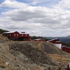
Folldal gruver
12.6 km
Viewpoint Snøhetta
25.6 km
Hjerkinn skytefelt
26.6 km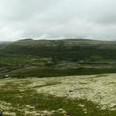
Dovre National Park
30 km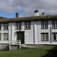
Kongsvoll Coaching station
20.1 km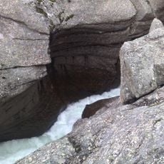
Mågålaupet
34 km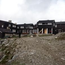
Snøheim fjellstue
32.9 km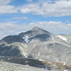
Høgronden
34.7 km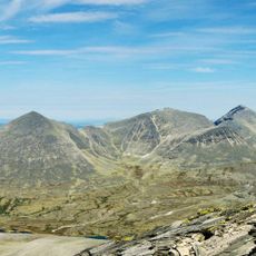
Digerronden
34.6 km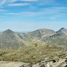
Midtronden
35.1 km
Grimsdalshytta
25.3 km
Grimsdalen
25.4 km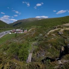
Kongsvoll Alpine Garden
20.1 km
Holy Olav Chapel
12.6 km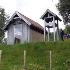
St. Mikael's Chapel
34.4 km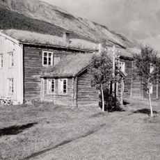
Drivstua Fjeldstue
26.9 km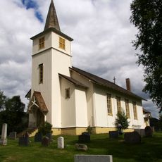
Folldal Church
14.5 km
Grimsmoen
17 km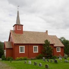
Dalen Church
12.3 km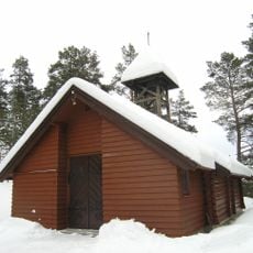
Egnund Church
21.4 km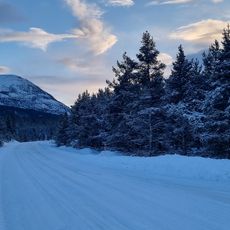
Frekmyr
23.7 km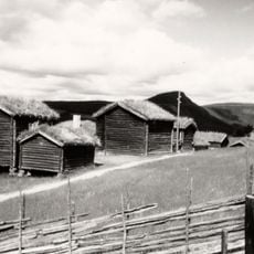
Husantunet
36.8 km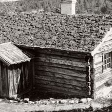
Streitlien
17.9 km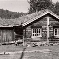
Lien nordre (skogstykket nørdsti-lien)
32.3 km
Flyen nordre, parsell
13.9 km
Holen søre
14.5 km
STREITLIEN UPPIGARD, Folldal bygdetun, museum
17.1 km
Ryen øvre
14.7 kmReviews
Visited this place? Tap the stars to rate it and share your experience / photos with the community! Try now! You can cancel it anytime.
Discover hidden gems everywhere you go!
From secret cafés to breathtaking viewpoints, skip the crowded tourist spots and find places that match your style. Our app makes it easy with voice search, smart filtering, route optimization, and insider tips from travelers worldwide. Download now for the complete mobile experience.

A unique approach to discovering new places❞
— Le Figaro
All the places worth exploring❞
— France Info
A tailor-made excursion in just a few clicks❞
— 20 Minutes