
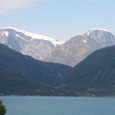
Fastdalstinden, قمة جبل في النرويج
Location: Lyngen Municipality
GPS coordinates: 69.62939,20.16915
Latest update: April 28, 2025 15:41

Jiehkkevárri
21.1 km
Lyngen
28.4 km
Hamnnes
23.4 km
Ullsfjorden
19.3 km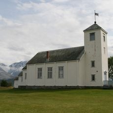
Ullsfjord Church
23.2 km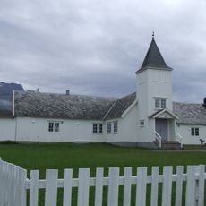
Skibotn Chapel
26.7 km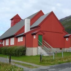
Kåfjord Church
15 km
Kåfjorden
28.6 km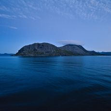
Lyngsalpan
17.8 km
Sørfjorden
23.5 km
Kveita
18.7 km
Selnes kapell
19.2 km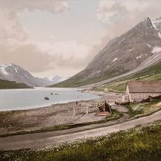
Kjosen
9.9 km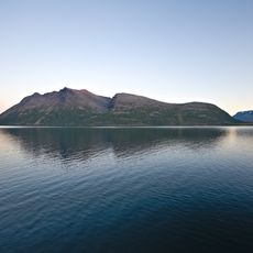
Ullstinden
26.8 km
Vartohytta
3.8 km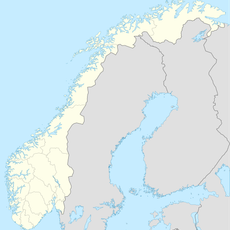
Rottenvikvatnet
2.6 km
Sandeng hjelpekirkegård
17.7 km
Eidebakken
5.8 km
Lyngen prestegård
6.3 km
Sjursnes
22.9 km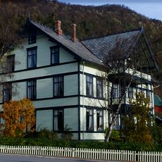
Giævergården
6.2 km
Lyngseidet
6.3 km
Skipet
11.6 km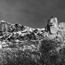
Jiehtanas
12.1 km
Skibotn markedsplass
26.6 km
Handelsplass
26.6 km
DET GAMLE BAKERIET - (Lyngseidet)
6.2 km
Ytternebba
22.2 kmReviews
Visited this place? Tap the stars to rate it and share your experience / photos with the community! Try now! You can cancel it anytime.
Discover hidden gems everywhere you go!
From secret cafés to breathtaking viewpoints, skip the crowded tourist spots and find places that match your style. Our app makes it easy with voice search, smart filtering, route optimization, and insider tips from travelers worldwide. Download now for the complete mobile experience.

A unique approach to discovering new places❞
— Le Figaro
All the places worth exploring❞
— France Info
A tailor-made excursion in just a few clicks❞
— 20 Minutes