Elvkroken
Location: Engerdal Municipality
GPS coordinates: 62.08150,11.66381
Latest update: April 9, 2025 12:31


Jutulhogget
40.7 km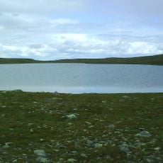
Storvätteshågna
41.3 km
Femundsmarka National Park
27.9 km
Töfsingdalen National Park
43.5 km
Gutulia National Park
27.2 km
Långfjället
47.9 km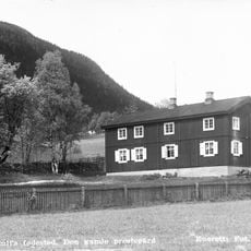
Bull Museum
37.5 km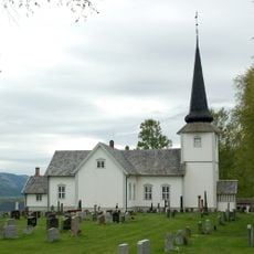
Øvre Rendal Church
37.3 km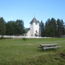
Elgå Church
17.3 km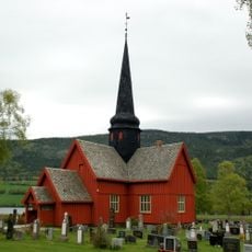
Ytre Rendal Church
43.9 km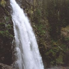
Tegningfallet
48.2 km
Isterfossen
20.1 km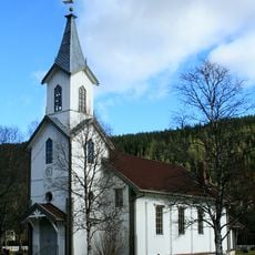
Engerdal Church
39.3 km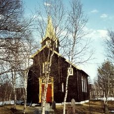
Hodalen Church
39.5 km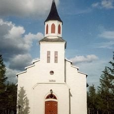
Narbuvoll Church
31.7 km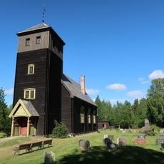
Hanestad Church
48.7 km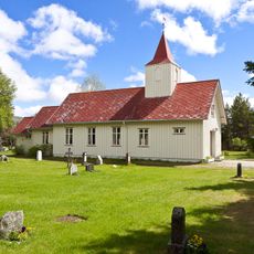
Tufsingdal Chapel
24.9 km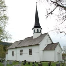
Tylldalen Church
45.6 km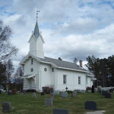
Drevsjø Church
29.1 km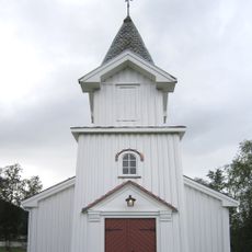
Brydalen Church
37.1 km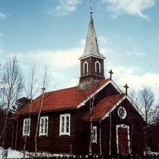
Holøydalen Church
18 km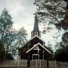
Sømådalen Church
2 km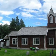
Søre Elvdal Church
46.5 km
Tynset skytebane
48.3 km
Engerdal
39.1 km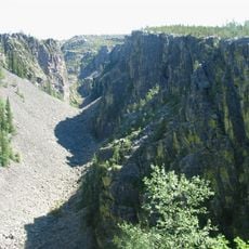
Jutulhogget
39.3 km
Narjordet søndre (Oddentunet), Os museum
41.7 km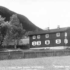
Rendalen prestegard
37.6 kmReviews
Visited this place? Tap the stars to rate it and share your experience / photos with the community! Try now! You can cancel it anytime.
Discover hidden gems everywhere you go!
From secret cafés to breathtaking viewpoints, skip the crowded tourist spots and find places that match your style. Our app makes it easy with voice search, smart filtering, route optimization, and insider tips from travelers worldwide. Download now for the complete mobile experience.

A unique approach to discovering new places❞
— Le Figaro
All the places worth exploring❞
— France Info
A tailor-made excursion in just a few clicks❞
— 20 Minutes