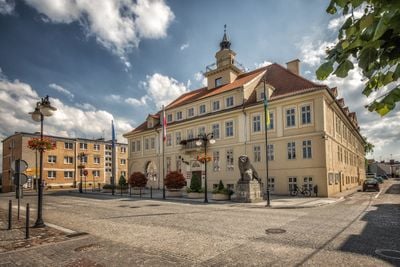
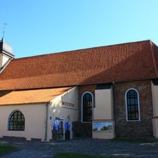
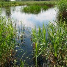
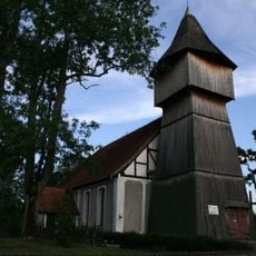
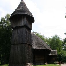
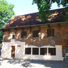
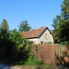
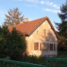
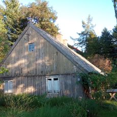
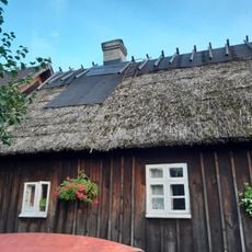
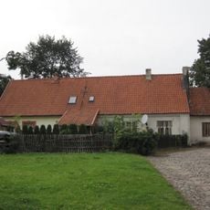
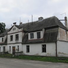
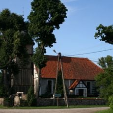
Gmina Olsztynek, urban-rural gmina of Poland
Location: Olsztyn County
Shares border with: Gmina Gietrzwałd, Gmina Grunwald, Gmina Jedwabno, Gmina Kozłowo, Gmina Nidzica, Gmina Ostróda, Gmina Purda, Gmina Stawiguda
Website: http://olsztynek.bil-wm.pl
GPS coordinates: 53.58333,20.28333
Latest update: March 10, 2025 02:34
Tannenberg Memorial
1.5 km
Museum of Folk Architecture
1.2 km
Olsztynek Castle
48 m
Ethnographic Park in Olsztynek
867 m
Wodociągowa wieża ciśnień (komunalna) w Olsztynku
234 m
Sacred Heart church in Olsztynek
252 m
Olsztynek town hall
142 m
Old Church in Olsztynek
35 m
Rezerwat przyrody Bagno Nadrowskie
7.8 km
Lutheran church in Mańki
9.5 km
Wooden church from Rychnowo
884 m
Evangelical cemetery in Mańki
9.5 km
Cmentarz wojenny z I wojny światowej w Waplewie
9.8 km
Defensive walls in Olsztynek
42 m
Zbór Kościoła Chrześcijan Baptystów w Olsztynku
525 m
Evangelical cemetery in Mierki
2.7 km
Manor in Platyny
7.4 km
2 Zamkowa Street in Olsztynek
63 m
Świerczewskiego 27
444 m
Dom
152 m
Krzysztof Mrongovius House
52 m
Zagroda w Pluskach 11
8.8 km
Dom w Pluskach 11
8.8 km
Chałupa w Pluskach 21
9 km
Chałupa w Pluskach 54
9.3 km
Dawna plebania, ob. dom (na fragmentach muru obronnego z 1414), poł. XVIII
52 m
Manor house in Platyny
7.4 km
Zespół kościoła ewangelickiego
9.5 kmReviews
Visited this place? Tap the stars to rate it and share your experience / photos with the community! Try now! You can cancel it anytime.
Discover hidden gems everywhere you go!
From secret cafés to breathtaking viewpoints, skip the crowded tourist spots and find places that match your style. Our app makes it easy with voice search, smart filtering, route optimization, and insider tips from travelers worldwide. Download now for the complete mobile experience.
A unique approach to discovering new places❞
— Le Figaro
All the places worth exploring❞
— France Info
A tailor-made excursion in just a few clicks❞
— 20 Minutes