Węgorzewo

Log in to your account

AroundUs is a community-driven map of interesting places, built by curious explorers like you. It grows with every review, story, and photo you share.
Connect to save your favorite spots, contribute locations, and create personalized routes.
Continue with Google
Continue with Apple
Continue with X
Continue with Facebook
Continue with email
By continuing, you accept our Terms and Conditions and our Privacy Policy
Create an account
Add to collection
Map
Suggest a change
Share

Węgorzewo, city of Poland

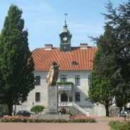
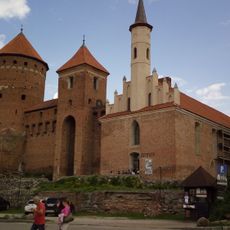
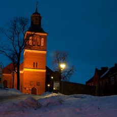
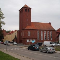
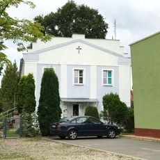
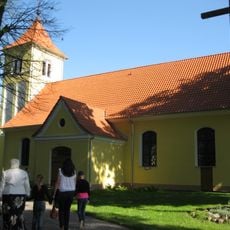
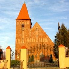
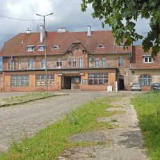
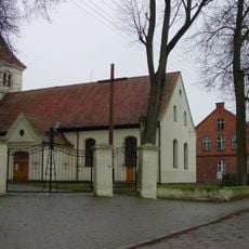
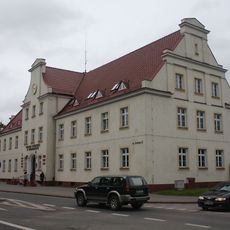
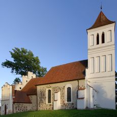
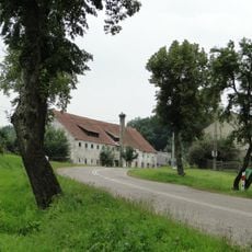
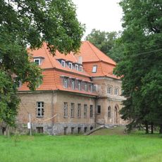
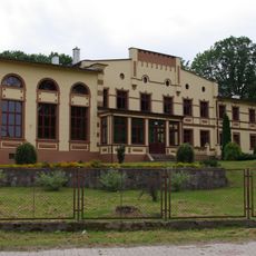
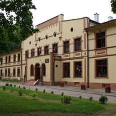
Węgorzewo is a small town located on the shores of large lakes in the Masuria region of Poland. The town features a mix of old and newer buildings, with a castle built in the 14th century and the Church of St. Peter and Paul as prominent structures, along with a market square and various shops and cafes.

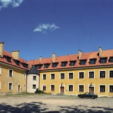
The area was originally settled by the Galindians and conquered in the 12th century by Teutonic Knights, who built a fortress on a river island in 1300. The town grew around this fortress and experienced periods of trade and industry including a major ironworks factory in the 1500s, though it also suffered from plague, fires, and wars.

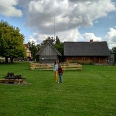
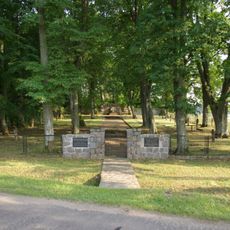
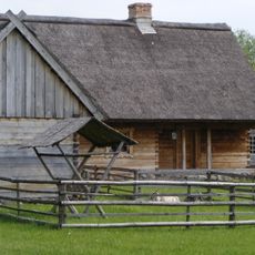
Węgorzewo connects its identity with water and sailing traditions that shape daily life. The town hosts events like the International Folklore Fair and maintains cultural spaces such as the Ethnographic Museum and Ethnographic Park, where local crafts and traditional ways of living remain visible to visitors.

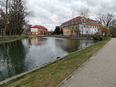
The town is easy to explore on foot or by bicycle, especially along the lakeshore and the Węgorze Canal which has walking and cycling paths. The tourist information office near the port can provide details about local sights, boat rentals, and hiking routes, and bicycles are available for rent nearby.

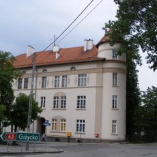
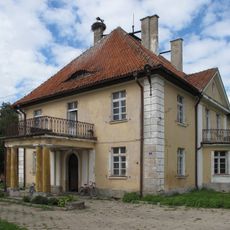
The town's castle was once visited by King Stanisław Leszczyński and remains one of the best-preserved remnants of Teutonic rule in the region. It also serves as the northernmost gateway to the Great Masuria Lakes and is a launching point for sailing expeditions across a clear, expansive water system.

Location: Gmina Węgorzewo

Address: Węgorzewo, Poland

Website: http://wegorzewo.pl

GPS coordinates: 54.21382,21.74166

Latest update: January 8, 2026 08:26

Photos
Masuria and Podlasie: lakes, primary forests and land marks in the northeast of Poland

The northeast of Poland holds two regions with very different views. Masuria is known for its thousands of lakes connected to each other, where boats go from island to island and from village to village. Śniardwy, the biggest lake in the country, and Mamry create a water maze used by sailboats and...

Reviews

Visited this place? Tap the stars to rate it and share your experience / photos with the community! Try now! You can cancel it anytime.

« Węgorzewo - city of Poland » is provided by Around Us (aroundus.com). Images and texts are derived from Wikimedia project under a Creative Commons license. You are allowed to copy, distribute, and modify copies of this page, under the conditions set by the license, as long as this note is clearly visible.

Discover hidden gems everywhere you go!

From secret cafés to breathtaking viewpoints, skip the crowded tourist spots and find places that match your style. Our app makes it easy with voice search, smart filtering, route optimization, and insider tips from travelers worldwide. Download now for the complete mobile experience.

Around Us App Screenshot

A unique approach to discovering new places

Le Figaro

All the places worth exploring

France Info

A tailor-made excursion in just a few clicks

20 Minutes