
Gmina Abramów, rural gmina of Poland
Location: Lubartów County
Shares border with: Gmina Żyrzyn
Website: http://abramow.lubelskie.pl
GPS coordinates: 51.45556,22.31667
Latest update: March 17, 2025 06:56
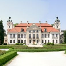
Kozłówka Palace
12 km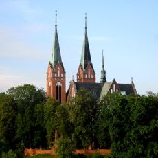
Church of the Transfiguration in Garbów
11.8 km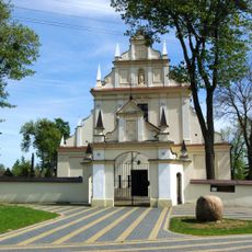
Saint Michael Archangel and the Nativity of the Virgin Mary church in Kurów
11.6 km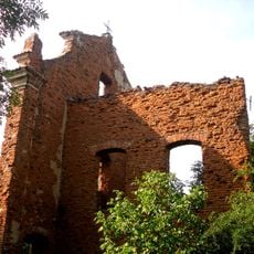
Adalbert of Prague church in Garbów
11.9 km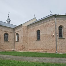
Church of the Assumption in Michów
7.6 km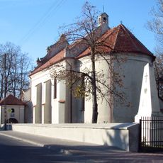
Holy Spirit church in Markuszów
9.8 km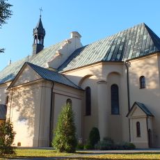
Saints Peter and Paul church in Kamionka
10 km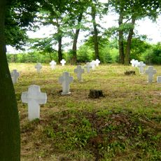
World War I Cemetery in Kurów
11 km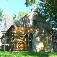
Mariavite Church in Łany
10.3 km
New Jewish Cemetery in Markuszów
10 km
Meszno
6.4 km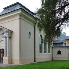
Chapel of the Kozłówka Palace
12 km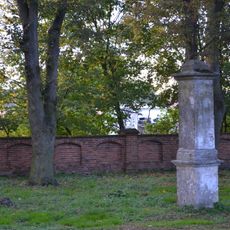
Cmentarz kościelny
10 km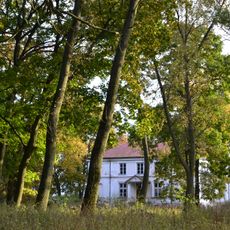
Zespół pałacowy w Samoklęskach
7.6 km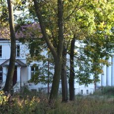
Samoklęski Palace
7.5 km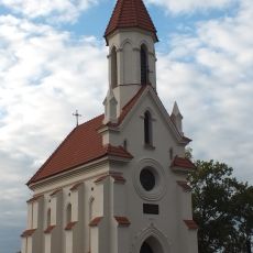
Zamoyski Mausoleum in Kamionka
9.9 km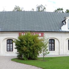
Carriage house in Kozłówka
11.9 km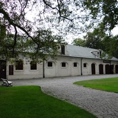
Former stable and carriage house in Kozłówka
11.8 km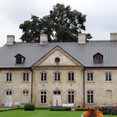
Oficyna II
11.9 km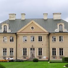
Oficyna I
12 km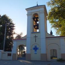
Ogrodzenie z dzwonnicą
10.1 km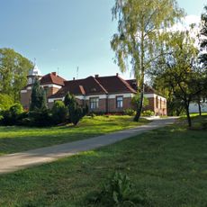
Plebania w Garbowie
11.8 km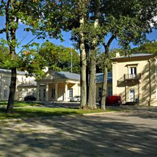
Palace in Garbów
11.4 km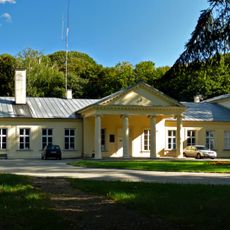
Pałac w Garbowie
11.4 km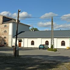
Granary in Garbów
11.3 km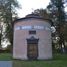
Weyssenhoff mausoleum in Kamionka
10 km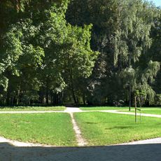
Pozostałości parku (ukształtowanie terenu i drzewostan) z historycznym układem komunikacyjnym i trzema stawami (Irena, Pod pałacem i Kępa)
11.5 km
Reviews
Visited this place? Tap the stars to rate it and share your experience / photos with the community! Try now! You can cancel it anytime.
Discover hidden gems everywhere you go!
From secret cafés to breathtaking viewpoints, skip the crowded tourist spots and find places that match your style. Our app makes it easy with voice search, smart filtering, route optimization, and insider tips from travelers worldwide. Download now for the complete mobile experience.

A unique approach to discovering new places❞
— Le Figaro
All the places worth exploring❞
— France Info
A tailor-made excursion in just a few clicks❞
— 20 Minutes