
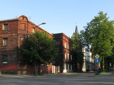
Łagiewniki, quarter in Bytom
Location: Bytom
Inception: 1255
Elevation above the sea: 291 m
Shares border with: Rozbark
GPS coordinates: 50.32720,18.93110
Latest update: March 3, 2025 06:07
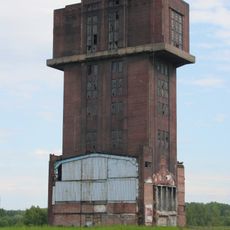
Szyb Krystyna
1.9 km
Saint Margaret of Antioch church in Bytom
1.9 km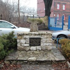
Stone cross in Bytom
605 m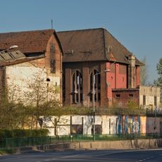
Rozbark mine main area buildings
1.7 km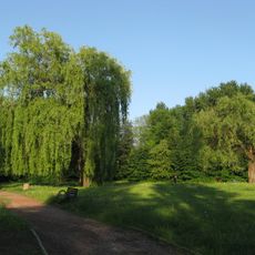
Adam Mickiewicz Park in Bytom
769 m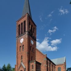
Saint John of Nepomuk church in Bytom
108 m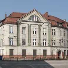
Royal Institute of Hygiene building in Bytom
2 km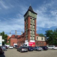
Fire station in Bytom-Łagiewniki
227 m
Lasek Chropaczowski
1.5 km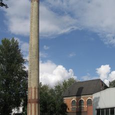
Waste incinerator building with engine room and chimney in former sewage treatment plant
1.8 km
Głaz-pomnik w Chropaczowie
1.9 km
Graniczny Potok
677 m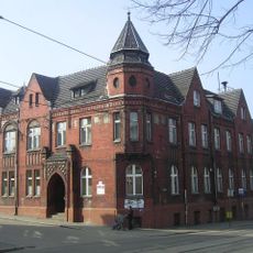
Former Town Hall in Chropaczów
2 km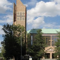
Church of Saint Anne in Bytom
1.4 km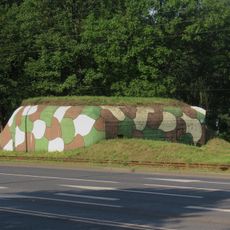
Heavy combat bunker No. 5 in Chorzów
1 km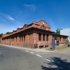
Rozbark Dance Theater
1.6 km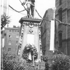
Pomnik Powstańca Śląskiego w Chropaczowie
1.9 km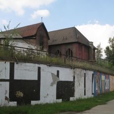
Rozbark mine retaining wall
1.7 km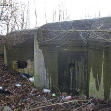
Heavy combat bunker in Bytom
633 m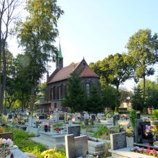
Graveyard at Saint Margaret church in Bytom
1.9 km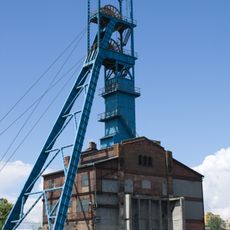
Ewa headframe
1.9 km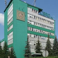
Central Mines Rescue Station
1.4 km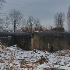
Heavy combat bunker No. 13 in Bytom
1.1 km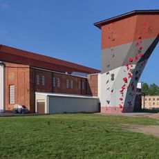
Rozbark mine boiler house
1.7 km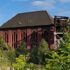
Bończyk shaft engine room
1.7 km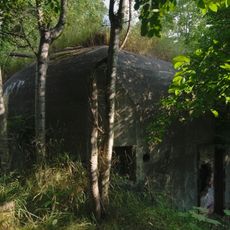
Heavy combat bunker in Chorzów
1.6 km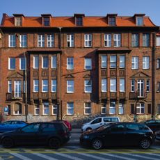
36 Karola Miarki Street in Bytom
1.9 km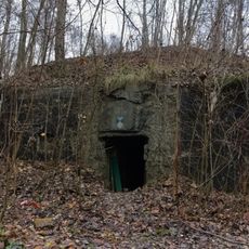
Combat bunker No. 3 in Bytom
1.3 kmReviews
Visited this place? Tap the stars to rate it and share your experience / photos with the community! Try now! You can cancel it anytime.
Discover hidden gems everywhere you go!
From secret cafés to breathtaking viewpoints, skip the crowded tourist spots and find places that match your style. Our app makes it easy with voice search, smart filtering, route optimization, and insider tips from travelers worldwide. Download now for the complete mobile experience.

A unique approach to discovering new places❞
— Le Figaro
All the places worth exploring❞
— France Info
A tailor-made excursion in just a few clicks❞
— 20 Minutes