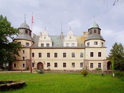
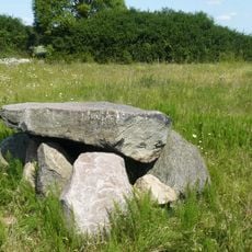
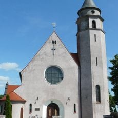
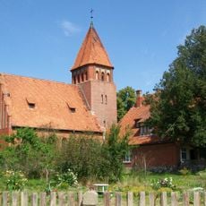
Castle in Goraj, Medieval castle in Goraj-Zamek, Poland.
Castle in Goraj-Zamek is a medieval fortification set within the Greater Poland countryside, featuring defensive walls and structures typical of its period. The layout shows the strategic design common to defensive buildings of that era.
The castle was built in medieval times as a defensive stronghold for the Greater Poland region and later recognized as a cultural monument. It still bears traces of its past role as a protective center and regional landmark.
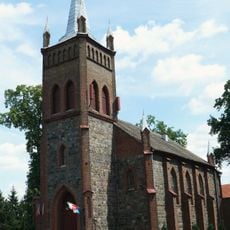
The castle served as a key defense point for the region and remains central to how residents view their village. Local people regard it as the heart of Goraj-Zamek and part of their shared past.
The grounds are best reached on foot by heading through the village, and the castle is hard to miss from the main road. Visiting during daylight hours helps you see the structures and walls clearly.
The exact origins and first builder of the castle remain unclear even today, which continues to attract archaeologists and historians. This mystery intrigues visitors who enjoy wondering about how such structures came to be.
Location: Goraj-Zamek
GPS coordinates: 52.87380,16.49760
Latest update: December 9, 2025 12:23
Church of the Nativity of the Virgin Mary in Lubasz
3 km
Pomnik spadochroniarzy pod Sokołowem
9.9 km
T-34-85 monument in Czarnków
5.7 km
Saint Mary Magdalene church in Czarnków
5.6 km
Palace in Lubasz
3.7 km
Ławeczka Janka z Czarnkowa
5.7 km
Czarnków museum
5.5 km
Rezerwat archeologiczny w Rosku
9.5 km
Saint Andrew Bobola church in Gębice
13.6 km
Saint Catherine church in Lipka
12.3 km
Czarnków Town Hall
5.6 km
Saint Peter and Paul church in Gulcz
8.1 km
Church of St. Stanislaus in Rosko
12.3 km
Synagoge
5.8 km
Pomnik powstańców wielkopolskich w Rosku
12.3 km
Our Lady of the Scapular church in Tarnówko
12.8 km
Cemetery in Nowe Dwory
12.4 km
Cmentarz katolicki w Lubaszu
3.2 km
Śluza komorowa
2.1 km
Post mill in Dębe
2.5 km
9 Wolności Square in Czarnków
5.7 km
14 Wolności Square in Czarnków
5.7 km
Zespół stopnia wodnego Mikołajewo nr 17 (na rz. Noteć)
5.8 km
Budynek mieszkalno-gospodarczy
5.8 km
Budynek administracyjno-gospodarczy
5.8 km
Pałac w Bzowie
2.3 km
Jaz z przepławką
2.1 km
Urządzenia hydrotechniczne (śluza, jaz, przepławka), Mikołajewo
5.8 kmVisited this place? Tap the stars to rate it and share your experience / photos with the community! Try now! You can cancel it anytime.
Discover hidden gems everywhere you go!
From secret cafés to breathtaking viewpoints, skip the crowded tourist spots and find places that match your style. Our app makes it easy with voice search, smart filtering, route optimization, and insider tips from travelers worldwide. Download now for the complete mobile experience.
A unique approach to discovering new places❞
— Le Figaro
All the places worth exploring❞
— France Info
A tailor-made excursion in just a few clicks❞
— 20 Minutes