
Układ ruralistyczny
Location: Kadyny
Inception: 13 century
GPS coordinates: 54.29778,19.48739
Latest update: April 3, 2025 22:08
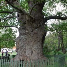
Bażyński Oak
361 m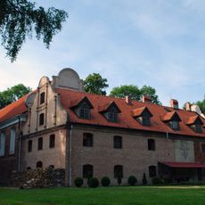
Franciscan monastery in Kadyny
583 m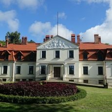
Kadyny Palace
176 m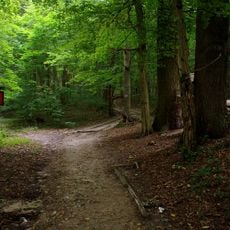
Kadyński Forest Nature Reserve
416 m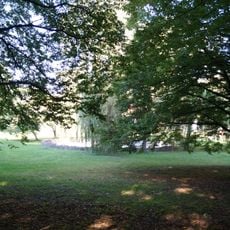
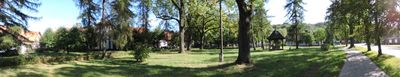
Palace park in Kadyny
251 m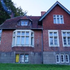
12-12a House in Kadyny
471 m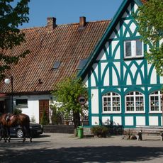
Former inn in Kadyny
22 m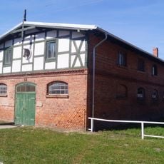
Stajnia I
155 m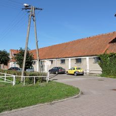
Stajnia z magazynem
182 m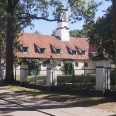
Former granary in Kadyny
184 m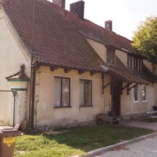
Dom Kawalerów in Kadyny
125 m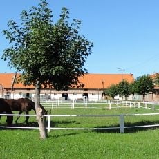
Folwark in Kadyny
143 m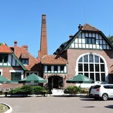
Gorzelnia, ob. hotel
225 m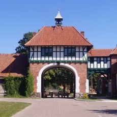
Budynek bramy przejazdowej z łącznikiem
204 m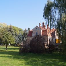
Palace and folwark complex in Kadyny
124 m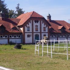
Stajnia II
101 m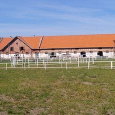
Stajnia III
138 m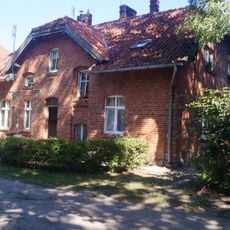
Dom mieszkalny
118 m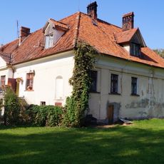
Former orangery in Kadyny
150 m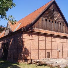
Stodoła
268 m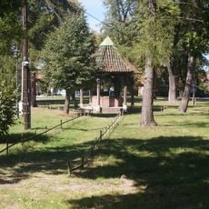
Skwer przy stajni
80 m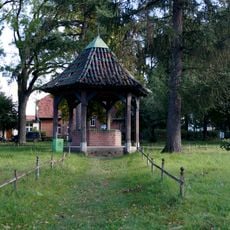
Studnia z obudową
83 m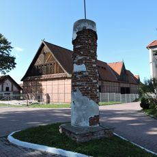
Kapliczka przydrożna II, przy wyjeździe z podwórza folwarcznego
303 m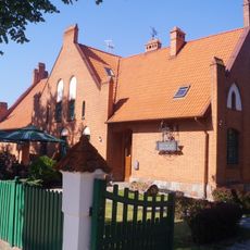
Former school in Kadyny
227 m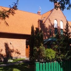
Szkoła
227 m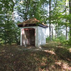
Holy Cross chapel in Kadyny
574 m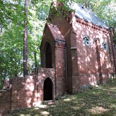
Immaculate Conception chapel in Kadyny
389 m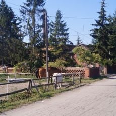
Zespół cegielni
934 mVisited this place? Tap the stars to rate it and share your experience / photos with the community! Try now! You can cancel it anytime.
Discover hidden gems everywhere you go!
From secret cafés to breathtaking viewpoints, skip the crowded tourist spots and find places that match your style. Our app makes it easy with voice search, smart filtering, route optimization, and insider tips from travelers worldwide. Download now for the complete mobile experience.

A unique approach to discovering new places❞
— Le Figaro
All the places worth exploring❞
— France Info
A tailor-made excursion in just a few clicks❞
— 20 Minutes