Bridge
Location: Walim, Lower Silesian Voivodeship
GPS coordinates: 50.68893,16.44511
Latest update: November 23, 2025 12:19
Säuferhöhen
2.2 km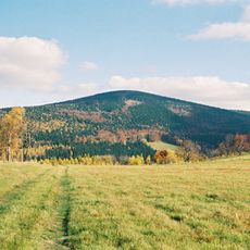
Kleine Eule
1.6 km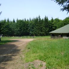
Przełęcz Walimska
2.3 km
Mulenberg
1.5 km
Ostra
152 m
Saint Hedwig church in Walim
872 m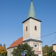
Kościół św. Barbary w Walimiu
1.1 km
Maximilian Kolbe church in Rzeczka
1.7 km
Saint Barbara church in Walim
1.1 km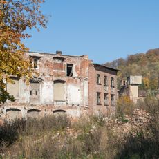
Zakłady Przemysłu Lniarskiego Walim
930 m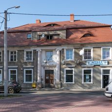
2 Konopnickiej Street in Walim
1.3 km
Klingberg mortuary chapel in Walim
516 m
8 Wyszyńskiego Street in Walim
1.2 km
Kompleks Rzeczka
33 m
3 Kilińskiego Street in Walim
1.1 km
13 Wyszyńskiego Street in Walim
1.2 km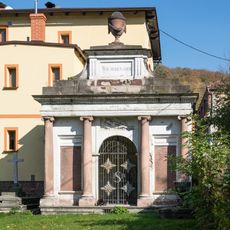
Seyler mortuary chapel in Walim
1.1 km
3 Wyszyńskiego Street in Walim
1.1 km
Rakieta V2
49 m
Chłopska Góra
1.8 km
Silberloch
1.7 km
Pod Kukułką
1.3 km
Riese - Kompleks "Rzeczka"
71 m
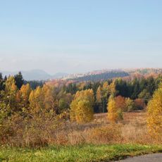
Scenic viewpoint
975 m
Scenic viewpoint
1.9 km
Scenic viewpoint
1.6 km
Scenic viewpoint
1.6 km
Vehicle
2.2 kmReviews
Visited this place? Tap the stars to rate it and share your experience / photos with the community! Try now! You can cancel it anytime.
Discover hidden gems everywhere you go!
From secret cafés to breathtaking viewpoints, skip the crowded tourist spots and find places that match your style. Our app makes it easy with voice search, smart filtering, route optimization, and insider tips from travelers worldwide. Download now for the complete mobile experience.

A unique approach to discovering new places❞
— Le Figaro
All the places worth exploring❞
— France Info
A tailor-made excursion in just a few clicks❞
— 20 Minutes