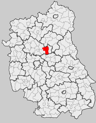
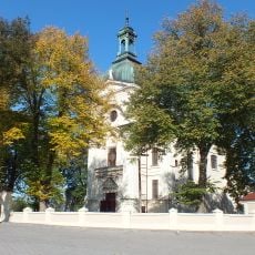
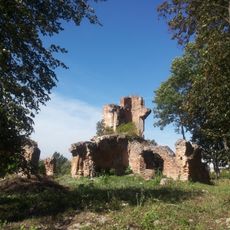
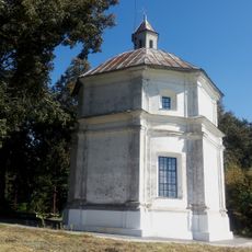
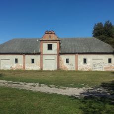
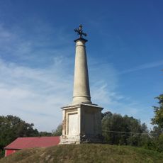
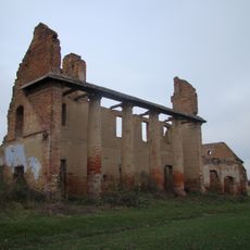
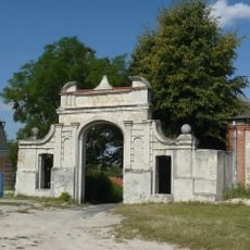
Gmina Ostrów Lubelski, urban-rural gmina of Poland
Location: Lubartów County
Shares border with: Gmina Ludwin, Gmina Niedźwiada, Gmina Parczew, Gmina Serniki, Gmina Spiczyn, Gmina Uścimów
Website: http://ostrowlubelski.lubelskie.pl
GPS coordinates: 51.49111,22.85500
Latest update: March 4, 2025 15:44
Łukcze
13 km
Nature reserve Jezioro Obradowskie
10.9 km
Orthodox church of SS. Peter and Paul in Sosnowica
16 km
Rogóźno (jezioro)
15.1 km
Immaculate Conception church in Ostrów Lubelski
253 m
Mary Magdalene Church in Serniki
14.9 km
Cemetery chapel in Kolechowice
3.1 km
Uścimowiec
5.9 km
Rezerwat przyrody Lasy Parczewskie
8.1 km
World War I 91st Oldenburg Infantry Regiment Cemetery in Nowa Wola
12.5 km
Cmentarz kościelny
14.9 km
Cmentarz prawosławny w Kolechowicach
3.1 km
World War I Cemetery in Nowa Wola
11 km
Mary Magdalene Church in Serniki
14.9 km
Cemetery in Kolechowice
3.1 km
Granary in Zawieprzyce
16.4 km
Watermill in Siemień
16.3 km
Dzwonnica w Sernikach
14.9 km
Zespół kościoła Marii Magdaleny
14.9 km
The palace complex in Zawieprzyce
16.4 km
Ruiny pałacu wraz z murem oporowym w Zawieprzycach
16.4 km
Ogrodzenie z bramkami
15 km
Saint Anthony of Padua chapel in Zawieprzyce
16.4 km
Oficyna
16.4 km
Stajnie
16.3 km
Obelisk in Zawieprzyce
16.3 km
Oranżeria
16.2 km
Brama wjazdowa
16.4 kmReviews
Visited this place? Tap the stars to rate it and share your experience / photos with the community! Try now! You can cancel it anytime.
Discover hidden gems everywhere you go!
From secret cafés to breathtaking viewpoints, skip the crowded tourist spots and find places that match your style. Our app makes it easy with voice search, smart filtering, route optimization, and insider tips from travelers worldwide. Download now for the complete mobile experience.
A unique approach to discovering new places❞
— Le Figaro
All the places worth exploring❞
— France Info
A tailor-made excursion in just a few clicks❞
— 20 Minutes