Gmina Mszczonów, Urban-rural municipality in Żyrardów County, Poland
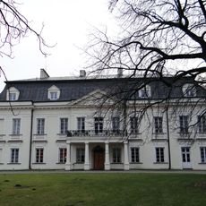
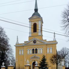
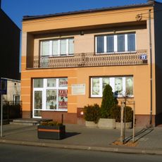
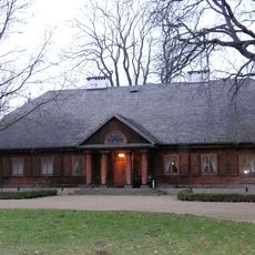
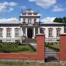
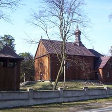
Gmina Mszczonów is an urban-rural municipality in Żyrardów County that combines a town center with surrounding villages and farmland. The territory includes infrastructure like administrative buildings, schools, and clinics distributed across both developed and agricultural areas.
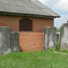
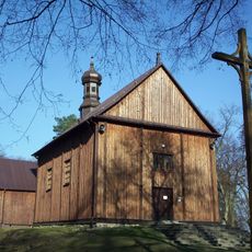
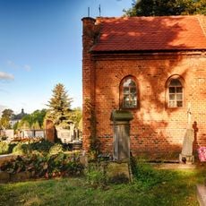
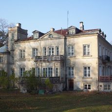
The territory emerged from medieval settlements and gradually transformed into the modern administrative entity it is today. Throughout regional changes and shifts in Poland's development, the area maintained its blend of urban and rural characteristics.
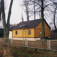
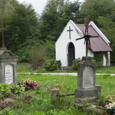
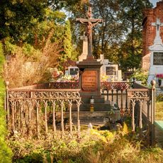
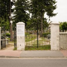
The place preserves local traditions through seasonal gatherings and community events that draw neighbors from both the town center and surrounding villages. These occasions reflect the way people here balance urban and rural ways of living side by side.
Basic services are spread across different locations within the area, so it helps to know which office or facility you need before visiting. Planning ahead by finding the exact address of your destination will make navigation easier since everything is not in one central spot.
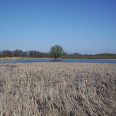
The area sits in a zone where Warsaw's expanding reach meets actual farmland and village life that continues on its own terms. This position makes it an interesting place to observe how metropolitan influence and traditional rural living exist in close proximity.
Location: Żyrardów County
Shares border with: Gmina Biała Rawska, Gmina Błędów, Gmina Kowiesy, Gmina Pniewy, Gmina Puszcza Mariańska, Gmina Radziejowice, Gmina Żabia Wola
Website: http://mszczonow.pl
GPS coordinates: 51.97417,20.52667
Latest update: December 11, 2025 18:08
Suntago Park of Poland
4.8 km
Radziejowice Castle
3.7 km
St John the Baptist church in Mszczonów
1.1 km
Jewish cemetery in Mszczonów
1.3 km
Rezerwat przyrody Stawy Gnojna im. rodziny Bieleckich
3.9 km
Kościół św. Kazimierza Królewicza w Radziejowicach
4.1 km
Izba Pamięci Ziemi Mszczonowskiej w Mszczonowie
4 m
Mariavite Church in Lutkówka
8.7 km
Catholic Church in Lutkówka
8.6 km
Nature reserve Dąbrowa Radziejowska
5.2 km
Manor in Radziejowice
3.7 km
Cmentarz rzym.-kat. w Skułach
8.9 km
Roman Catholic cemetery in Mszczonów, Dworcowa Street
442 m
Kaplica grobowa Krasińskich
4.3 km
Roman Catholic cemetery in Radziejowice
4.3 km
Żyrardowska 30
1.3 km
Dwór, Pałacowa 59 w Grzegorzewicach
6.2 km
Dzwonnica
9.1 km
Zespół dworski
6.2 km
Mogiła zbiorowa z okresu II wojny światowej w Adamowie-Wsi
6.3 km
Zespół kościoła św. Kazimierza
4.1 km
Dzwonnica, poł. XVIII
8.6 km
Cmentarz przykościelny, poł. XVIII
8.6 km
Kaplica grobowa Rogowskich
4.3 km
Zespół pałacowy, Sienkiewicza 2 w Radziejowicach
3.6 km
Kaplica grobowa
480 m
Zespół kościoła Św. Trójcy, poł. XVIII
8.6 km
Zespół cmentarza rzym.-kat.
442 mVisited this place? Tap the stars to rate it and share your experience / photos with the community! Try now! You can cancel it anytime.
Discover hidden gems everywhere you go!
From secret cafés to breathtaking viewpoints, skip the crowded tourist spots and find places that match your style. Our app makes it easy with voice search, smart filtering, route optimization, and insider tips from travelers worldwide. Download now for the complete mobile experience.
A unique approach to discovering new places❞
— Le Figaro
All the places worth exploring❞
— France Info
A tailor-made excursion in just a few clicks❞
— 20 Minutes