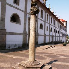
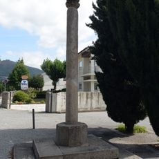
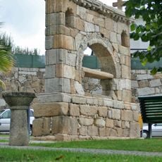
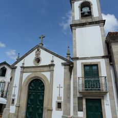
Arouca Geopark, UNESCO Global Geopark in Arouca, Portugal
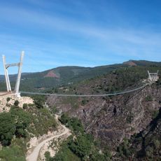
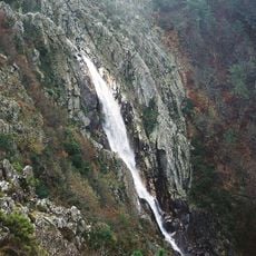
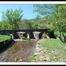
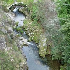
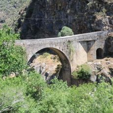
Arouca Geopark is a UNESCO Global Geopark spanning the mountain regions of Freita, Montemuro, and Arada, containing 41 distinct rock formations and multiple river systems. This geological variety makes the area important for understanding how Earth's rock layers and water have shaped the landscape.
The area received UNESCO Global Geopark designation in 2009, marking international recognition of its geological importance. This acknowledgment confirmed the region's long-term commitment to protecting nature and supporting scientific study.
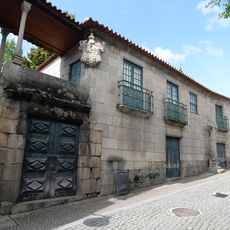
Local communities keep traditional food practices alive, making celebrated Arouquesa beef and sweets inspired by old monastery recipes that visitors can find in the region.
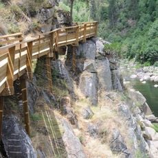
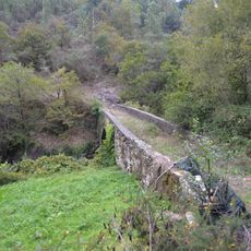
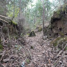
Visitors can walk on 14 marked trails connecting different geological sites, with 13 shorter routes for day visits and one longer journey. It helps to check which paths fit your plans beforehand and wear proper footwear for mountain walking.
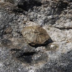
The area holds the Pedras Parideiras granite formation, where natural erosion separates small mineral nodules from the main rock structure. This uncommon geological process shows how water and time slowly change stone over the years.
Location: Arouca
Inception: 2009
Email: geral@aroucageopark.pt
Website: http://aroucageopark.pt/en
GPS coordinates: 40.92920,-8.24570
Latest update: December 12, 2025 17:41
Passadiços do Paiva
6.2 km
516 Arouca
7.1 km
Pedras Parideiras da Serra da Freita
9.3 km
Cascata da Frecha da Mizarela
8 km
Monastery of Arouca
159 m
Pillory of Trancoso
8.6 km
Ponte de Paço de Mato
10.2 km
Pelourinho de Arouca
83 m
Ponte do Castelo
12.5 km
Junqueiro Maize Bread Rocks
7 km
Pillory of Burgo
1.9 km
Igreja de São Miguel de Urrô
4.1 km
Ponte da Balsa
9.9 km
Câmara Municipal de Arouca
216 m
Ponte de Manhouce
11.9 km
Mamoa da Portela de Anta
7.8 km
Dólmen da Aliviada ou Mamoa 1 de Aliviada
12.5 km
Igreja de São Pedro (Manhouce)
12.3 km
Alminhas de Arouca
257 m
Memorial de Santo António do Burgo
2.1 km
Capela da Santa Casa da Misericórdia
29 m
Tree in Paçô
5.2 km
Conjunto constituído pela Ponte da Fontinha e moinho junto
10.2 km
Árvore isolada em Calvário
374 m
Ponte de Alvarenga
6.8 km
Casa Grande ou Casa dos Malafaias
55 m
Conjunto urbano da Praça Brandão de Vasconcelos, chafariz e edificado envolvente
50 m
Chafariz da Praça Brandão de Vasconcelos
36 mVisited this place? Tap the stars to rate it and share your experience / photos with the community! Try now! You can cancel it anytime.
Discover hidden gems everywhere you go!
From secret cafés to breathtaking viewpoints, skip the crowded tourist spots and find places that match your style. Our app makes it easy with voice search, smart filtering, route optimization, and insider tips from travelers worldwide. Download now for the complete mobile experience.
A unique approach to discovering new places❞
— Le Figaro
All the places worth exploring❞
— France Info
A tailor-made excursion in just a few clicks❞
— 20 Minutes