Рогачиха

Log in to your account

AroundUs is a community-driven map of interesting places, built by curious explorers like you. It grows with every review, story, and photo you share.
Connect to save your favorite spots, contribute locations, and create personalized routes.
By continuing, you accept our Terms and Conditions and our Privacy Policy

Рогачиха

Add to collection
Map
Suggest a change
Share

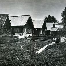
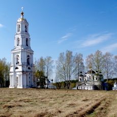
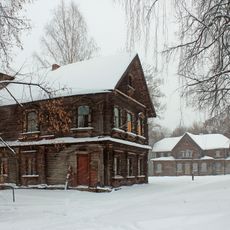
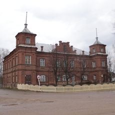
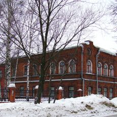
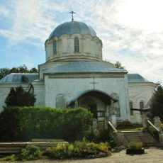
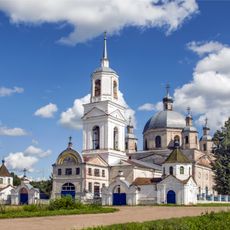
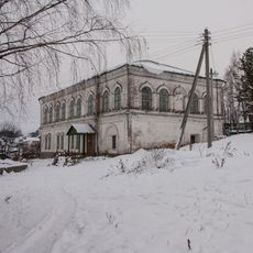
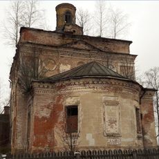
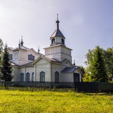
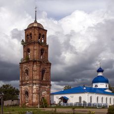
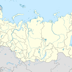
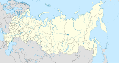
Рогачиха, human settlement in Sharyinsky District, Kostroma Oblast, Russia

Location: Ивановское сельское поселение

GPS coordinates: 58.10752,45.54755

Latest update: April 30, 2025 18:12
Around this place
Show the full map
Lake Svetloyar
Russian Federation

Lake Svetloyar

146 km
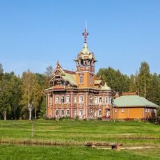
Astashovo estate
Russian Federation

Astashovo estate

157.6 km
Kologrivsky Nature Reserve
Russian Federation

Kologrivsky Nature Reserve

135.7 km
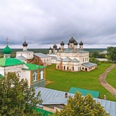
Makaryev-Unzhensky Monastery
Russian Federation

Makaryev-Unzhensky Monastery

105.5 km
Komarovski skete
Russian Federation

Komarovski skete

159.2 km
Vysokovsky Assumption Monastery
Russian Federation

Vysokovsky Assumption Monastery

125 km
Levashovs estate in Galibikha
Russian Federation

Levashovs estate in Galibikha

151 km
Kologriv local history museum
Russian Federation

Kologriv local history museum

107.1 km
Սեմյոնովի պատմա-գեղարվեստական թանգարան
Russian Federation

Սեմյոնովի պատմա-գեղարվեստական թանգարան

159.9 km
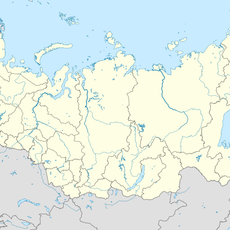
Кузнєцово (Шар'їнський район)
Russian Federation

Кузнєцово (Шар'їнський район)

32.7 km
Kazan Church, Nikolsk
Russian Federation

Kazan Church, Nikolsk

158 km
Троицкая церковь
Russian Federation

Троицкая церковь

110.6 km
Cathedral of the Ascension of Christ
Russian Federation

Cathedral of the Ascension of Christ

159.9 km
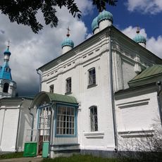
Покровская церковь
Russian Federation

Покровская церковь

127.3 km
Вохомский краеведческий музей
Russian Federation

Вохомский краеведческий музей

115.7 km
Церковь Николая Чудотворца, что на Дору
Russian Federation

Церковь Николая Чудотворца, что на Дору

154 km
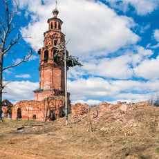
Church of Nativity of Theotokos
Russian Federation

Church of Nativity of Theotokos

158.6 km
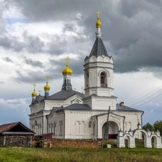
Saint Michael church, Urtma
Russian Federation

Saint Michael church, Urtma

147.6 km
Крестовоздвиженская церковь
Russian Federation

Крестовоздвиженская церковь

143 km
Church of the Protection of the Theotokos, Lom
Russian Federation

Church of the Protection of the Theotokos, Lom

149.3 km
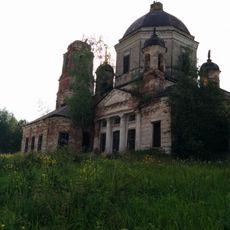
Dormilion church
Russian Federation

Dormilion church

48.7 km
Рамешинский
Russian Federation

Рамешинский

63.9 km
Прохоров (Костромська область)
Russian Federation

Прохоров (Костромська область)

122 km
Дюковское лесничество
Russian Federation

Дюковское лесничество

47.9 km
Іванов (Нижньогородська область)
Russian Federation

Іванов (Нижньогородська область)

143.8 km
Алешино (починок)
Russian Federation

Алешино (починок)

97.4 km
Александровский
Russian Federation

Александровский

156 km
Александровский (Санчурск районы)
Russian Federation

Александровский (Санчурск районы)

157 km
Show the full map

Reviews

Visited this place? Tap the stars to rate it and share your experience / photos with the community! Try now! You can cancel it anytime.

« Рогачиха: human settlement in Sharyinsky District, Kostroma Oblast, Russia » is provided by Around Us (aroundus.com). Images and texts are derived from Wikimedia project under a Creative Commons license. You are allowed to copy, distribute, and modify copies of this page, under the conditions set by the license, as long as this note is clearly visible.

Discover hidden gems everywhere you go!

From secret cafés to breathtaking viewpoints, skip the crowded tourist spots and find places that match your style. Our app makes it easy with voice search, smart filtering, route optimization, and insider tips from travelers worldwide. Download now for the complete mobile experience.

Around Us App Screenshot

A unique approach to discovering new places

Le Figaro

All the places worth exploring

France Info

A tailor-made excursion in just a few clicks

20 Minutes