卡利宁斯科耶农村居民点

Log in to your account

AroundUs is a community-driven map of interesting places, built by curious explorers like you. It grows with every review, story, and photo you share.
Connect to save your favorite spots, contribute locations, and create personalized routes.
By continuing, you accept our Terms and Conditions and our Privacy Policy

卡利宁斯科耶农村居民点

Add to collection
Map
Suggest a change
Share

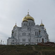
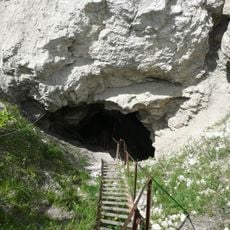
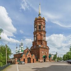
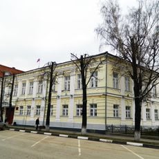
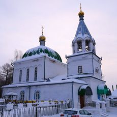
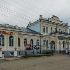
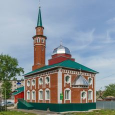
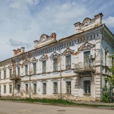
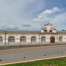
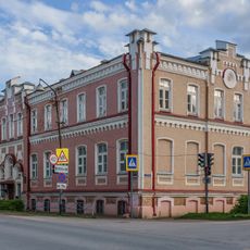
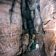
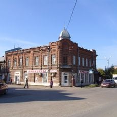
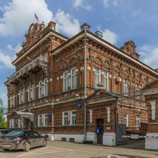
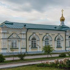
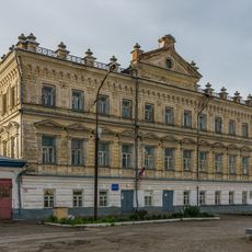
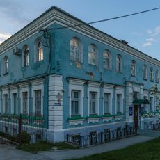
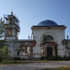
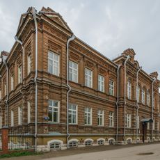
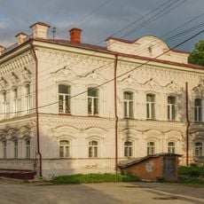
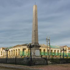
卡利宁斯科耶农村居民点, human settlement in Kungursky District, Perm Krai, Russia

Location: Kungursky District

Capital city: Kalinino

GPS coordinates: 57.32870,56.33557

Latest update: April 2, 2025 16:26

Around this place
Show the full map
Kungur Ice Cave
Russian Federation

Kungur Ice Cave

42.2 km
Belogorsky Monastery
Russian Federation

Belogorsky Monastery

9.5 km
Orda Cave
Russian Federation

Orda Cave

37.1 km
Navel of the World Monument in Kungur
Russian Federation

Navel of the World Monument in Kungur

38.2 km
Yermak Stone
Russian Federation

Yermak Stone

47.5 km
Church of the Theotokos of Tikhvin (Kungur)
Russian Federation

Church of the Theotokos of Tikhvin (Kungur)

38.6 km
Особняк Щербакова
Russian Federation

Особняк Щербакова

38.4 km
Saint Nicholas Church (Kungur)
Russian Federation

Saint Nicholas Church (Kungur)

38.5 km
Kungur Local Museum
Russian Federation

Kungur Local Museum

38.4 km
Gostiny Dvor, Kungur
Russian Federation

Gostiny Dvor, Kungur

38.3 km
Кунгурское техническое училище Губкина
Russian Federation

Кунгурское техническое училище Губкина

37.8 km
All Saints Church
Russian Federation

All Saints Church

39.5 km
Church of the Transfiguration
Russian Federation

Church of the Transfiguration

38.5 km
Kuznetsov Mansion
Russian Federation

Kuznetsov Mansion

38.1 km
Kungur Mosque
Russian Federation

Kungur Mosque

38.7 km
Дом Грибушина
Russian Federation

Дом Грибушина

38.1 km
Small Gostiny Dvor, Kungur
Russian Federation

Small Gostiny Dvor, Kungur

38.3 km
Елизаветинская рукодельная школа
Russian Federation

Елизаветинская рукодельная школа

37.8 km
Bolshaya Mechkinskaya Cave
Russian Federation

Bolshaya Mechkinskaya Cave

35.6 km
Дом Ануфриевой
Russian Federation

Дом Ануфриевой

38.4 km
Dubinin's estate
Russian Federation

Dubinin's estate

38.5 km
Saint Alexius Church (Kungur)
Russian Federation

Saint Alexius Church (Kungur)

38.2 km
Old City Hall
Russian Federation

Old City Hall

38.2 km
Художественный музей
Russian Federation

Художественный музей

38.5 km
Храм Вознесения Господня
Russian Federation

Храм Вознесения Господня

39.1 km
Кунгурское городское четырёхклассное училище
Russian Federation

Кунгурское городское четырёхклассное училище

38.1 km
Особняк Софронова
Russian Federation

Особняк Софронова

38.3 km
Kungur Obelisk
Russian Federation

Kungur Obelisk

38.2 km
Show the full map

Reviews

Visited this place? Tap the stars to rate it and share your experience / photos with the community! Try now! You can cancel it anytime.

« 卡利宁斯科耶农村居民点: human settlement in Kungursky District, Perm Krai, Russia » is provided by Around Us (aroundus.com). Images and texts are derived from Wikimedia project under a Creative Commons license. You are allowed to copy, distribute, and modify copies of this page, under the conditions set by the license, as long as this note is clearly visible.

Discover hidden gems everywhere you go!

From secret cafés to breathtaking viewpoints, skip the crowded tourist spots and find places that match your style. Our app makes it easy with voice search, smart filtering, route optimization, and insider tips from travelers worldwide. Download now for the complete mobile experience.

Around Us App Screenshot

A unique approach to discovering new places

Le Figaro

All the places worth exploring

France Info

A tailor-made excursion in just a few clicks

20 Minutes