
Подрезчихинское сельское поселение, human settlement in Belokholunitsky District, Kirov Oblast, Russia
Location: Belokholunitsky District
Capital city: Подрезчиха
GPS coordinates: 59.34806,51.46028
Latest update: March 5, 2025 11:04
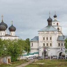
Uspensky Trifonov Monastery
131.3 km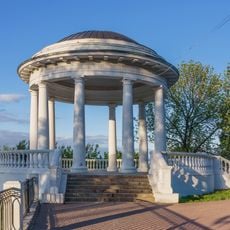
Alexandrovsky Garden
131 km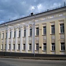
Vyatka men's gymnasium
131.7 km
Kirov region local museum
131.5 km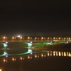
Старый мост (Киров)
130.1 km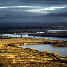
Новый мост (Киров)
129.9 km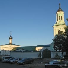
Transfiguration Monastery, Kirov
131.1 km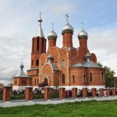
Всехсвятский собор (Кирово-Чепецк)
120.1 km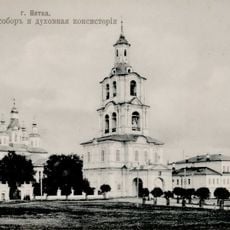
Holy Trinity Cathedral
131 km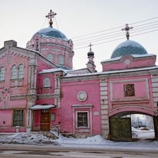
Slobodskoy nunnery of the Nativity the Mother of God
100.5 km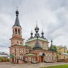
Saint Seraphim Church, Kirov
131.7 km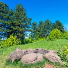
Подчуршинское городище
106.6 km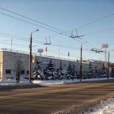
Rodina Stadium
131.6 km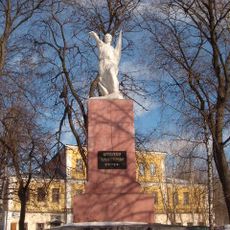
Памятник Степану Халтурину
131.2 km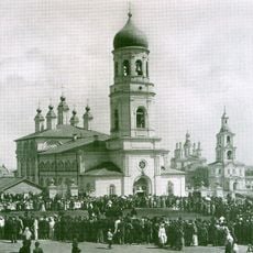
Воскресенский собор
131.6 km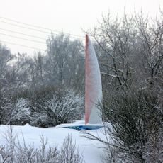
Alvon yelkan obelisk
100.7 km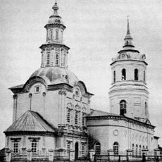
Church of the Holy Mandilion, Sovje
103.8 km
Assumption Church (Svyatitsa)
128.4 km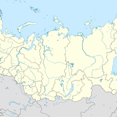
44 км
124.5 km
Koygorodsky National Park
106.3 km
100 км
66.8 km
Silin house
131.6 km
Пудемский (разъезд)
117.9 km
Дмитриевская церковь (Кажым)
109.7 km
Ascension church, Sada
120.7 km
Памятник В. И. Ленину (Яр)
128.3 km
Kinoteatr Pobeda
131.9 km
Храм Михаила Архангела
100.1 kmReviews
Visited this place? Tap the stars to rate it and share your experience / photos with the community! Try now! You can cancel it anytime.
Discover hidden gems everywhere you go!
From secret cafés to breathtaking viewpoints, skip the crowded tourist spots and find places that match your style. Our app makes it easy with voice search, smart filtering, route optimization, and insider tips from travelers worldwide. Download now for the complete mobile experience.

A unique approach to discovering new places❞
— Le Figaro
All the places worth exploring❞
— France Info
A tailor-made excursion in just a few clicks❞
— 20 Minutes