
Ovanåker 44:1, röse i Hälsingland
Location: Ovanåker Municipality
GPS coordinates: 61.58782,15.55540
Latest update: April 15, 2025 06:17
Ljusdal Municipality
32 km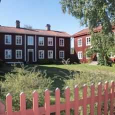
Decorated Farmhouses of Hälsingland
36.4 km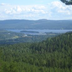
Järvzoo
33.6 km
Los koboltgruva
27.2 km
Jon-Lars
34.4 km
Voxna herrgård
24.7 km
Pallars
33.5 km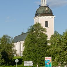
Färila Church
28.3 km
Långhed
33.9 km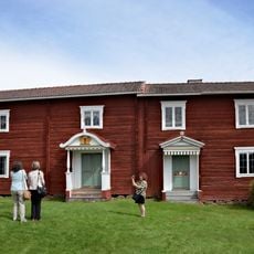
Voxnadalen
8.6 km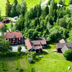
Kristofers
36.4 km
Stenegård
36 km
Los kyrka
25.3 km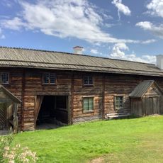
Karls i Bondarv
33.3 km
Ovanåkers kyrka
30.9 km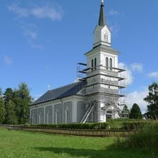
Hamra Church
30.5 km
Östigården i Ytteryg
30.4 km
Vikstenstorpet
37.6 km
Grängsbo lillkyrka
35.1 km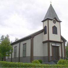
Öjungs kapell
704 m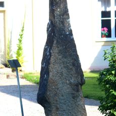
Hälsinglands runinskrifter 6
35.8 km
Tutabo
34.2 km
Voxna smedja
24.9 km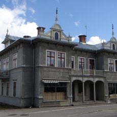
Gamla pappershandeln
26.6 km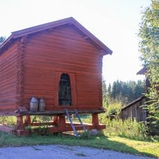
Härbret i Yg
30.2 km
Skommars
34.3 km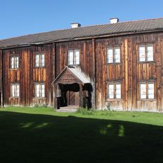
Gammellåks
37.9 km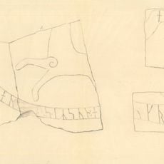
Hälsinglands runinskrifter 20
38.2 kmReviews
Visited this place? Tap the stars to rate it and share your experience / photos with the community! Try now! You can cancel it anytime.
Discover hidden gems everywhere you go!
From secret cafés to breathtaking viewpoints, skip the crowded tourist spots and find places that match your style. Our app makes it easy with voice search, smart filtering, route optimization, and insider tips from travelers worldwide. Download now for the complete mobile experience.

A unique approach to discovering new places❞
— Le Figaro
All the places worth exploring❞
— France Info
A tailor-made excursion in just a few clicks❞
— 20 Minutes