Lungsund 2:1, röse i Värmland
Location: Storfors Municipality
GPS coordinates: 59.56832,14.16970
Latest update: November 21, 2025 08:11
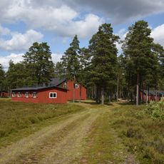
Brattforshedens krigsflygfält
15.2 km
Klockarhöjdenmasten
13 km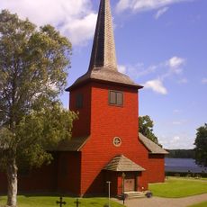
Lungsunds kyrka
5.3 km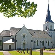
Kroppa Church
9.3 km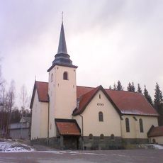
Lundsberg Church
7.9 km
Lämpenshålan
13.2 km
Lungälvens ravinsystem
12.6 km
Brattfors brandfält
14.3 km
Geijersdalsmossen
12.3 km
Vargbron
6.9 km
Baksjön
12.8 km
Stor-Älgsjön
11.1 km
Folkets Hus
7 km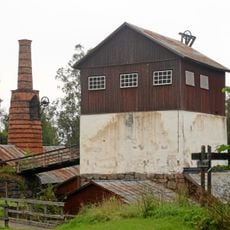
Brattforshyttan
13.8 km
Ökna kvarn
11.4 km
2003862 Tall
15.2 km
Bjurbäckens slussar
2 km
Hembygdsgården Brevik
7.1 km
Värmlands brandhistoriska museum
7 km
Lungsund 2:3
28 m
Lungsund 2:2
25 m
Lungsund 5:1
163 m
Bjurtjärn 86:1
12.2 km
Hjulgrav
10.8 km
Rörvalsen
7 km
Work of art, sculpture
7 km
Scenic viewpoint
14.7 km
Scenic viewpoint
15 kmReviews
Visited this place? Tap the stars to rate it and share your experience / photos with the community! Try now! You can cancel it anytime.
Discover hidden gems everywhere you go!
From secret cafés to breathtaking viewpoints, skip the crowded tourist spots and find places that match your style. Our app makes it easy with voice search, smart filtering, route optimization, and insider tips from travelers worldwide. Download now for the complete mobile experience.

A unique approach to discovering new places❞
— Le Figaro
All the places worth exploring❞
— France Info
A tailor-made excursion in just a few clicks❞
— 20 Minutes